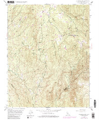
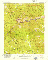
1947 Map of Stumpfield Mtn.
USGS Topo · Published 1981About this map
The confluence of the three forks of the Chowchilla River serves as the focal point for this 1947 survey of the Sierra Nevada foothills. In the mid-twentieth century, this Mariposa County landscape was a patchwork of rugged summits and dispersed rural institutions, anchored by small community centers like Elliott Corner. The terrain is punctuated by significant elevations such as Stumpfield Mountain and Indian Peak, reflecting the transition from low foothills to the dense timber of the Sierra National Forest.
Find a feature on this map
32 named features on this map. Tap any name to fly to it.
Don’t see what you’re looking for? This feature index may not catch every label — zoom into the map to look around manually.
Map Details
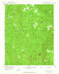
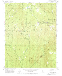
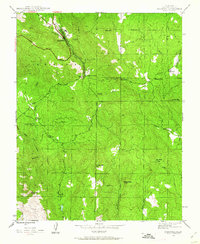
Editions of this 1947 Stumpfield Mtn. Map
4 editions found

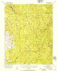
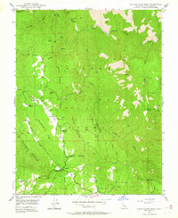
Other maps of this area

1897 · Yosemite
USGS Topo · 1:125,000

1900 · Yosemite
USGS Topo · 1:125,000

1903 · Yosemite
USGS Topo · 1:125,000

1909 · Yosemite
USGS Topo · 1:125,000

1912 · Mariposa
USGS Topo · 1:125,000
1947 · Mariposa
USGS Topo · 1:24,000

1947 · Mariposa
USGS Topo · 1:250,000
1947 · El Portal
USGS Topo · 1:62,500
1947 · Mariposa
USGS Topo · 1:62,500
1947 · Buckingham Mtn
USGS Topo · 1:24,000