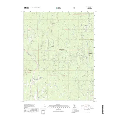
2018 Map of Fish Camp
USGS Topo · Published 2018About this map
Yosemite National Park and the Sierra National Forest dominate this Sierra Nevada landscape, where the northern boundary of Madera County meets Mariposa County. The high-altitude terrain is marked by significant peaks and ridges, including Chowchilla Mtn, Pilot Peak, and Hogan Mtn. This area serves as a gateway to the mountains, centered on the historic mountain community of Fish Camp and the settlement of Sugar Pine.
Find a feature on this map
135 named features on this map. Tap any name to fly to it.
Don’t see what you’re looking for? This feature index may not catch every label — zoom into the map to look around manually.
Map Details
Editions of this 2018 Fish Camp Map
This is the sole edition of this map. No revisions or reprints were ever made.
Other maps of this area

1897 · Yosemite
USGS Topo · 1:125,000

1900 · Yosemite
USGS Topo · 1:125,000

1903 · Yosemite
USGS Topo · 1:125,000

1909 · Yosemite
USGS Topo · 1:125,000

1912 · Mariposa
USGS Topo · 1:125,000

1947 · Mariposa
USGS Topo · 1:250,000

1947 · El Portal
USGS Topo · 1:62,500

1947 · Mariposa
USGS Topo · 1:62,500

1947 · Buckingham Mtn
USGS Topo · 1:24,000
1947 · Stumpfield Mtn.
USGS Topo · 1:24,000