2021 Map of Fish Camp
USGS Topo · Published 2021About this map
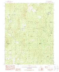
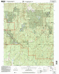
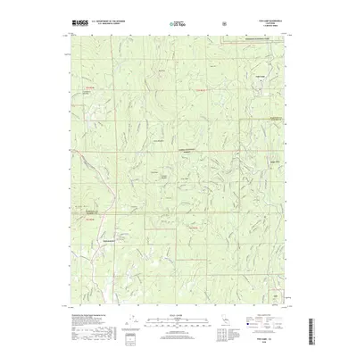
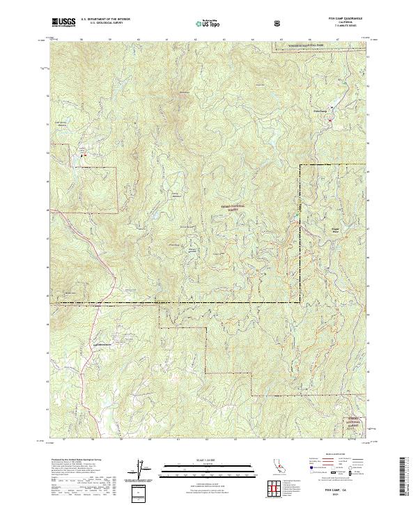
The Harris Family Cem stands as a quiet focal point for local history on the western slopes of the Sierra Nevada, situated near the South Fork Merced River. This 2021 survey details the complex network of mountain roads and legacy logging paths that define the region, including the Grant Grade-Tollroad and the Ten Mile RR Spur. The map provides a contemporary view of small settlements like Fish Camp and Nipinnawasee that sit at the intersection of private land and protected federal acreage.
Find a feature on this map
131 named features on this map. Tap any name to fly to it.
Don’t see what you’re looking for? This feature index may not catch every label — zoom into the map to look around manually.
Map Details
Editions of this 2021 Fish Camp Map
This is the sole edition of this map. No revisions or reprints were ever made.
Historical Maps of Nipinnawasee Through Time
6 maps found