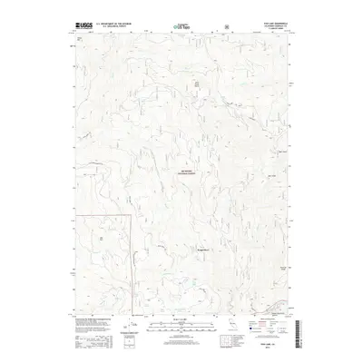
2015 Map of Fish Lake
USGS Topo · Published 2015About this map
Six Rivers National Forest encompasses this high-altitude landscape in Humboldt County, defined by steep drainages and isolated water bodies. The rugged geography centers on Fish Lake and the nearby Wright Place settlement, where the terrain falls away toward the Klamath River in the southeast corner. Transport through this wilderness relies on a network of historic paths like the Blue Creek Mountain Trl and Bluff Creek Trl, which follow the high ridges between peaks such as Onion Mtn and Bee Mtn. These trails provide the primary access to remote points like Bee Lake and Red Mountain Lake, tracing a path through the Salmon Mountains. This map documents a region where industry is minimal and the land remains largely defined by its natural water sources, from the headwaters of Fish Cr to the high-elevation Mud Spring.
Find a feature on this map
35 named features on this map. Tap any name to fly to it.
Don’t see what you’re looking for? This feature index may not catch every label — zoom into the map to look around manually.
Map Details
Editions of this 2015 Fish Lake Map
This is the sole edition of this map. No revisions or reprints were ever made.
Other maps of this area

1925 · Hoopa
USGS Topo · 1:125,000

1945 · Coyote Peak
USGS Topo · 1:62,500

1945 · Tectah Creek
USGS Topo · 1:62,500

1948 · Weed
USGS Topo · 1:250,000

1950 · Weed
USGS Topo · 1:250,000

1952 · Coyote Peak
USGS Topo · 1:62,500

1952 · Hoopa
USGS Topo · 1:62,500

1952 · Orleans
USGS Topo · 1:62,500

1952 · Tectah Creek
USGS Topo · 1:62,500

1958 · Weed
USGS Topo · 1:250,000