
1952 Map of Hoopa
USGS Topo · Published 1954About this map
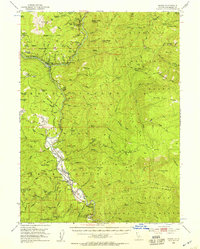
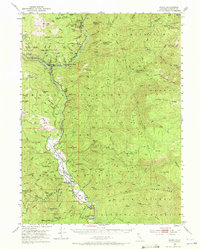
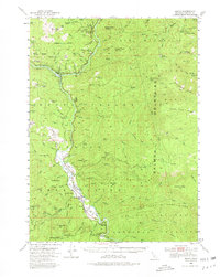
Hoopa Valley Indian Reservation dominates the center of this early 1950s survey, bisected by the winding Trinity River. The settlement of Hoopa serves as a primary hub, situated near notable landmarks like The Rain Rock Indian Ceremonial Site and several named points such as Hostler Point and Soctish Point. To the north, the junction at Weitchpec marks where the Klamath and Trinity rivers meet, surrounded by the Klamath National Forest and Six Rivers National Forest.
Find a feature on this map
101 named features on this map. Tap any name to fly to it.
Don’t see what you’re looking for? This feature index may not catch every label — zoom into the map to look around manually.
Map Details
Editions of this 1952 Hoopa Map
4 editions found
Other maps of this area

1909 · Big Bar
USGS Topo · 1:96,000

1915 · Big Bar and Vicinity
USGS Topo · 1:250,000

1922 · Korbel
USGS Topo · 1:62,500

1922 · China Flat
USGS Topo · 1:62,500

1925 · Hoopa
USGS Topo · 1:125,000

1945 · Coyote Peak
USGS Topo · 1:62,500

1945 · Tectah Creek
USGS Topo · 1:62,500

1945 · Blue Lake
USGS Topo · 1:62,500

1948 · Weed
USGS Topo · 1:250,000

1950 · Weed
USGS Topo · 1:250,000