
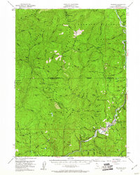
1952 Map of Orleans
USGS Topo · Published 1954About this map
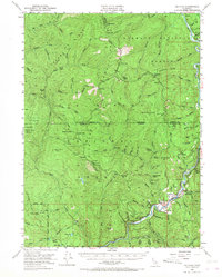
The Klamath River carves a deep path through the intersection of Humboldt, Siskiyou, and Del Norte counties, where the settlement of Orleans serves as a remote hub. Surveyed in the early 1950s, this landscape is defined by the high ridges of the Klamath National Forest and Six Rivers National Forest. Small ranching and homesteading operations, such as the Reece Homestead and Hunter Little Ranch, are scattered near the river, while high-altitude outposts like Beans Camp and Vans Camp indicate a network of trails and seasonal activity. Mining activity remains evident along the river and its tributaries, with the Owl Mine and Perch Cr Mine located near the riverbank. The terrain is a complex of peaks and drainages, including the prominent Onion Mtn and the sheer Lonesome Bluff overlooking Nickowitz Creek.
Find a feature on this map
99 named features on this map. Tap any name to fly to it.
Don’t see what you’re looking for? This feature index may not catch every label — zoom into the map to look around manually.
Map Details
Editions of this 1952 Orleans Map
3 editions found
Other maps of this area

1914 · Seiad
USGS Topo · 1:125,000

1922 · Preston Peak
USGS Topo · 1:125,000

1922 · Seiad
USGS Topo · 1:125,000

1925 · Hoopa
USGS Topo · 1:125,000

1945 · Ship Mountain
USGS Topo · 1:62,500

1945 · Coyote Peak
USGS Topo · 1:62,500

1945 · Tectah Creek
USGS Topo · 1:62,500

1948 · Weed
USGS Topo · 1:250,000

1950 · Weed
USGS Topo · 1:250,000

1952 · Coyote Peak
USGS Topo · 1:62,500