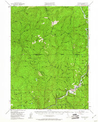
1952 Map of Orleans
USGS Topo · Published 1961About this map
The settlement of Orleans serves as a focal point in this mid-century survey of the Klamath River corridor, situated where the river makes a sharp bend near Bacon Flat. This region of the Klamath National Forest is defined by a network of ridges and gulches, including Rattlesnake Ridge and Soapstone Gulch, that historically supported a variety of small-scale mining and ranching operations. Names like the Hunter Little Ranch, Reece Homestead, and Short Ranch indicate family-held lands, while several work camps such as Bark Shanty Camp and Vans Camp are scattered across the high country near Bald Mountain. The presence of a Landing Field and a Ranger Sta in Orleans reflects the administrative and logistical management of these timberlands. The Siskiyou Trail and numerous unnamed trails provide the primary access into the steep drainages of Bluff Creek and Fish Creek, connecting remote landmarks like Onion Lake and the Prospect Hill Mine.
Find a feature on this map
120 named features on this map. Tap any name to fly to it.
Don’t see what you’re looking for? This feature index may not catch every label — zoom into the map to look around manually.
Map Details
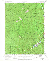
Editions of this 1952 Orleans Map
3 editions found

Other maps of this area

1914 · Seiad
USGS Topo · 1:125,000

1922 · Preston Peak
USGS Topo · 1:125,000

1922 · Seiad
USGS Topo · 1:125,000

1925 · Hoopa
USGS Topo · 1:125,000

1945 · Ship Mountain
USGS Topo · 1:62,500

1945 · Coyote Peak
USGS Topo · 1:62,500

1945 · Tectah Creek
USGS Topo · 1:62,500

1948 · Weed
USGS Topo · 1:250,000

1950 · Weed
USGS Topo · 1:250,000

1952 · Coyote Peak
USGS Topo · 1:62,500