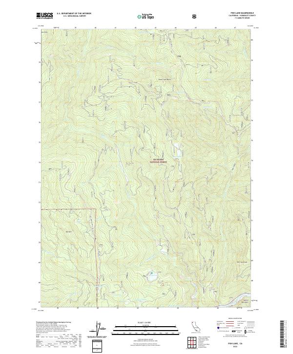
2022 Map of Fish Lake
USGS Topo · Published 2022About this map
The Six Rivers National Forest dominates this northern California landscape, defined by a complex network of high-elevation drainages and prominent peaks. High points like Onion Mtn and Slate Creek Butte overlook a series of alpine water bodies including Mosquito Lake, Bee Lake, and the central Fish Lake. The terrain transitions into the Salmon Mountains at its southeastern edge, where the Klamath Wild and Scenic River corridor begins.
Find a feature on this map
34 named features on this map. Tap any name to fly to it.
Don’t see what you’re looking for? This feature index may not catch every label — zoom into the map to look around manually.
Map Details
Editions of this 2022 Fish Lake Map
This is the sole edition of this map. No revisions or reprints were ever made.
Other maps of this area

1925 · Hoopa
USGS Topo · 1:125,000

1945 · Coyote Peak
USGS Topo · 1:62,500

1945 · Tectah Creek
USGS Topo · 1:62,500

1948 · Weed
USGS Topo · 1:250,000

1950 · Weed
USGS Topo · 1:250,000

1952 · Coyote Peak
USGS Topo · 1:62,500

1952 · Hoopa
USGS Topo · 1:62,500

1952 · Orleans
USGS Topo · 1:62,500

1952 · Tectah Creek
USGS Topo · 1:62,500

1958 · Weed
USGS Topo · 1:250,000