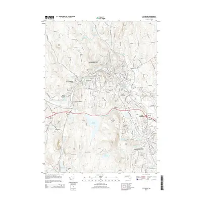
2015 Map of Fitchburg
USGS Topo · Published 2015About this map
Fitchburg and Leominster dominate this landscape, their industrial and academic footprints centered on the North Nashua River and its various reservoirs. The presence of Fitchburg State Coll and the Fitchburg Municipal Airport signals the modern institutional importance of the region, while the B & M RR corridor remains a key transit artery through Waites Corner and Wachusett Station.
Find a feature on this map
269 named features on this map. Tap any name to fly to it.
Don’t see what you’re looking for? This feature index may not catch every label — zoom into the map to look around manually.
Map Details
Editions of this 2015 Fitchburg Map
This is the sole edition of this map. No revisions or reprints were ever made.
Other maps of this area

1885 · Worcester
USGS Topo · 1:62,500

1886 · Worcester
USGS Topo · 1:62,500

1887 · Marlboro
USGS Topo · 1:62,500

1887 · Fitchburg
USGS Topo · 1:62,500

1889 · Marlboro
USGS Topo · 1:62,500

1889 · Fitchburg
USGS Topo · 1:62,500

1892 · Worcester
USGS Topo · 1:62,500

1893 · Fitchburg
USGS Topo · 1:62,500

1893 · Groton
USGS Topo · 1:62,500

1896 · Marlboro
USGS Topo · 1:62,500