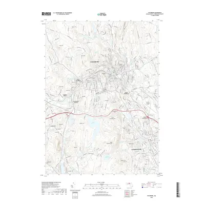
2018 Map of Fitchburg
USGS Topo · Published 2018About this map
Fitchburg and Leominster dominate this landscape, showcasing the dense residential and industrial corridors of Worcester County. The terrain is defined by a series of prominent peaks and ridges, such as Rollstone Hill, Mt Elam, and the Monoosnoc Hills, which provide a sharp contrast to the urban valley floors. Water management is a central theme, with numerous impoundments including Falulah Reservoir, Notown Reservoir, and Haynes Reservoir dotting the hillsides, feeding the North Nashua River and its various tributaries. Transportation infrastructure, including the Pan Am Railways corridor and Fitchburg Municipal Airport, highlights the area's role as a regional hub.
Find a feature on this map
263 named features on this map. Tap any name to fly to it.
Don’t see what you’re looking for? This feature index may not catch every label — zoom into the map to look around manually.
Map Details
Editions of this 2018 Fitchburg Map
This is the sole edition of this map. No revisions or reprints were ever made.
Other maps of this area

1885 · Worcester
USGS Topo · 1:62,500

1886 · Worcester
USGS Topo · 1:62,500

1887 · Marlboro
USGS Topo · 1:62,500

1887 · Fitchburg
USGS Topo · 1:62,500

1889 · Marlboro
USGS Topo · 1:62,500

1889 · Fitchburg
USGS Topo · 1:62,500

1892 · Worcester
USGS Topo · 1:62,500

1893 · Fitchburg
USGS Topo · 1:62,500

1893 · Groton
USGS Topo · 1:62,500

1896 · Marlboro
USGS Topo · 1:62,500