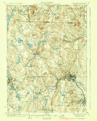
1936 Map of Fitchburg
USGS Topo · Published 1936About this map
Fitchburg Railroad and Cheshire Railroad tracks converge in this industrial heartland, illustrating the dense transportation network that powered north-central Massachusetts and southern New Hampshire in the 1930s. The map captures the significant elevation changes between the Nashua River valley and high points like Watatic Mountain and New Ipswich Mtn. Industrial centers such as Fitchburg, Leominster, and Gardner are shown in high detail, revealing the layout of neighborhoods and factory districts before the era of major highway expansion.
Find a feature on this map
141 named features on this map. Tap any name to fly to it.
Don’t see what you’re looking for? This feature index may not catch every label — zoom into the map to look around manually.
Map Details
Editions of this 1936 Fitchburg Map
2 editions found
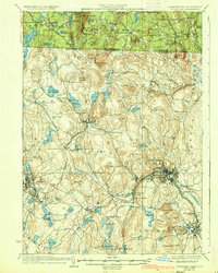
Other maps of this area

1885 · Worcester
USGS Topo · 1:62,500

1886 · Worcester
USGS Topo · 1:62,500

1887 · Winchendon
USGS Topo · 1:62,500

1887 · Marlboro
USGS Topo · 1:62,500

1887 · Barre
USGS Topo · 1:62,500

1887 · Fitchburg
USGS Topo · 1:62,500

1889 · Marlboro
USGS Topo · 1:62,500

1889 · Fitchburg
USGS Topo · 1:62,500

1889 · Barre
USGS Topo · 1:62,500

1890 · Winchendon
USGS Topo · 1:62,500