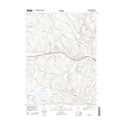
2015 Map of Fitchville
USGS Topo · Published 2015About this map
Gardner Lake and the Yantic River define the geography of this southeastern Connecticut area, where the village of Fitchville sits at a strategic bend in the river. This 2015 study shows a landscape punctuated by numerous family and community burial grounds, including the Gardner Bulkeley Cem, Scott Hill Cem, and Lathrop Cem, which offer significant value for genealogical research in Bozrah and Franklin.
Find a feature on this map
149 named features on this map. Tap any name to fly to it.
Don’t see what you’re looking for? This feature index may not catch every label — zoom into the map to look around manually.
Map Details
Editions of this 2015 Fitchville Map
This is the sole edition of this map. No revisions or reprints were ever made.
Other maps of this area

1892 · New London
USGS Topo · 1:62,500

1892 · Norwich
USGS Topo · 1:62,500

1892 · Gilead
USGS Topo · 1:62,500

1893 · New London
USGS Topo · 1:62,500

1893 · Saybrook
USGS Topo · 1:62,500

1921 · New London
USGS Topo · 1:62,500

1935 · Montville
USGS Topo · 1:24,000

1939 · Montville
USGS Topo · 1:31,680
1941 · Uncasville
USGS Topo · 1:31,680

1943 · Fitchville
USGS Topo · 1:31,680