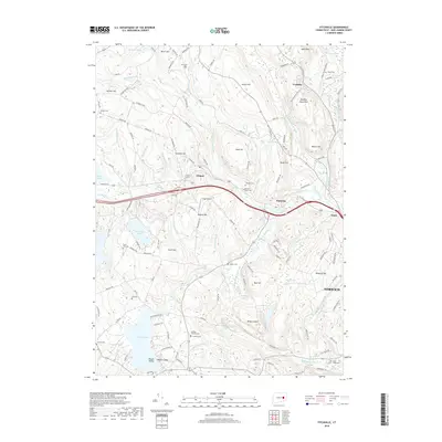
2018 Map of Fitchville
USGS Topo · Published 2018About this map
Fitchville and the neighboring settlements of Gilman and Yantic cluster along the Yantic River in this detailed survey of New London County. The landscape is defined by a dense network of glacial hills, including Meeting House Hill, Misery Hill, and Ayers Mtn, interspersed with numerous ponds and brooks that powered early local industry. Genealogists will find a high density of burial sites across the township, such as the Gardner-Bulkeley Cem, Bozrah Rural Cem, and Scott Hill Cem. To the south, the waters of Gardner Lake feature the distinct Minnie Island, while the eastern portion of the map transition into the outskirts of Norwich. The map documents the persistent rural character of the region, where family-named landmarks like Gager Field and Bashon Hill remain central to the geography.
Find a feature on this map
128 named features on this map. Tap any name to fly to it.
Don’t see what you’re looking for? This feature index may not catch every label — zoom into the map to look around manually.
Map Details
Editions of this 2018 Fitchville Map
This is the sole edition of this map. No revisions or reprints were ever made.
Other maps of this area

1892 · New London
USGS Topo · 1:62,500

1892 · Norwich
USGS Topo · 1:62,500

1892 · Gilead
USGS Topo · 1:62,500

1893 · New London
USGS Topo · 1:62,500

1893 · Saybrook
USGS Topo · 1:62,500

1921 · New London
USGS Topo · 1:62,500

1935 · Montville
USGS Topo · 1:24,000

1939 · Montville
USGS Topo · 1:31,680
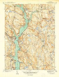
1941 · Uncasville
USGS Topo · 1:31,680

1943 · Fitchville
USGS Topo · 1:31,680