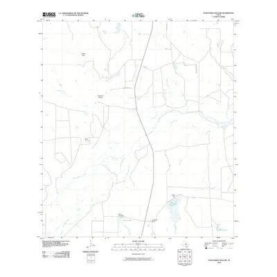
2010 Map of Fitzpatrick Hollow
USGS Topo · Published 2010About this map
The Nueces River winds through this South Texas landscape, creating a complex network of intermittent watercourses and historical ranch lands. The geography is defined by subtle elevation changes like Kings Hills and the namesake Fitzpatrick Hollow, which channel runoff into numerous creeks such as Richardson Creek and Leopard Creek. In this arid cattle-country environment, water management is paramount, evidenced by the distribution of man-made features like Big Tank, Mustang Tank, and Brown Lake. Ranching operations including True Ranch and Arrowhead Ranch anchor the local economy, connected by rural routes like Lower Anchor Rd. The presence of the Old River channel alongside the active Nueces River indicates the shifting nature of the riverbed over time, a vital detail for understanding historical property boundaries and land use in McMullen County.
Find a feature on this map
19 named features on this map. Tap any name to fly to it.
Don’t see what you’re looking for? This feature index may not catch every label — zoom into the map to look around manually.
Map Details
Editions of this 2010 Fitzpatrick Hollow Map
This is the sole edition of this map. No revisions or reprints were ever made.
Other maps of this area

1920 · Mikeska
USGS Topo · 1:125,000

1925 · Tilden No. 1
USGS Topo · 1:48,000

1925 · Simmons No. 2
USGS Topo · 1:48,000

1929 · Simmons
USGS Topo · 1:62,500

1930 · Tilden
USGS Topo · 1:62,500

1937 · Loma Alta
USGS Topo · 1:62,500

1942 · Tilden
USGS Topo · 1:62,500

1953 · Crystal City
USGS Topo · 1:250,000

1955 · Crystal City
USGS Topo · 1:250,000

1961 · Crystal City
USGS Topo · 1:250,000