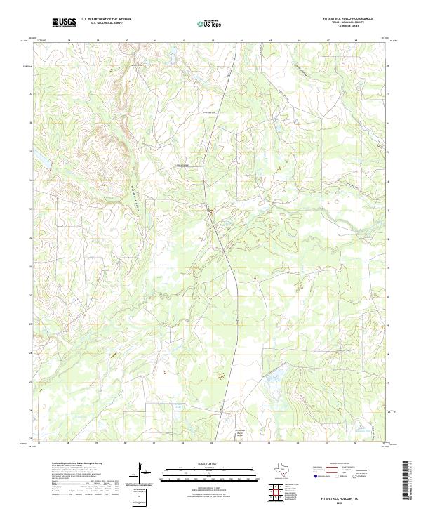
2022 Map of Fitzpatrick Hollow
USGS Topo · Published 2022About this map
The Nueces River meanders across this McMullen County landscape, creating a complex drainage network defined by the Old River and numerous tributaries such as Leopard Cr and Canyon Creek. The topography is shaped by the Kings Hills to the north and the deep incision of Fitzpatrick Hollow. This area reflects the remote, ranch-dominated character of South Texas, where connectivity is maintained through named private thoroughfares like Lowe Ranch Rd and Whitehurst Ranch Rd. Human activity is concentrated around scattered landmarks including the Arrowhead Ranch Airport and water resources like Brown Lake and Mustang Tank. The landscape's configuration highlights the critical importance of riparian corridors and managed water points in this semi-arid environment.
Find a feature on this map
22 named features on this map. Tap any name to fly to it.
Don’t see what you’re looking for? This feature index may not catch every label — zoom into the map to look around manually.
Map Details
Editions of this 2022 Fitzpatrick Hollow Map
This is the sole edition of this map. No revisions or reprints were ever made.
Other maps of this area

1920 · Mikeska
USGS Topo · 1:125,000

1925 · Tilden No. 1
USGS Topo · 1:48,000

1925 · Simmons No. 2
USGS Topo · 1:48,000

1929 · Simmons
USGS Topo · 1:62,500

1930 · Tilden
USGS Topo · 1:62,500

1937 · Loma Alta
USGS Topo · 1:62,500

1942 · Tilden
USGS Topo · 1:62,500

1953 · Crystal City
USGS Topo · 1:250,000

1955 · Crystal City
USGS Topo · 1:250,000

1961 · Crystal City
USGS Topo · 1:250,000