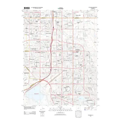
2013 Map of Fitzsimons
USGS Topo · Published 2013About this map
Hillcrest Village and Kirkgaard Acres represent the dense residential fabric of eastern Aurora during this period of the early twenty-first century. The landscape is a complex network of established neighborhoods such as Chambers Heights, Apache Mesa, and Hallcrafts Village East, situated near major institutional anchors including the Univ of Colorado Anschutz Medical Campus and Buckley Air Force Base.
Find a feature on this map
143 named features on this map. Tap any name to fly to it.
Don’t see what you’re looking for? This feature index may not catch every label — zoom into the map to look around manually.
Map Details
Editions of this 2013 Fitzsimons Map
This is the sole edition of this map. No revisions or reprints were ever made.
Other maps of this area

1890 · East Denver
USGS Topo · 1:125,000

1935 · East Denver Nos. 3 and 4
USGS Topo · 1:48,000

1938 · Derby
USGS Topo · 1:24,000

1938 · Long Branch
USGS Topo · 1:24,000

1939 · Coal Creek
USGS Topo · 1:24,000

1940 · Englewood
USGS Topo · 1:31,680

1940 · Piney Creek
USGS Topo · 1:24,000

1940 · Derby
USGS Topo · 1:31,680

1941 · Long Branch
USGS Topo · 1:31,680

1941 · Fitzsimons
USGS Topo · 1:31,680