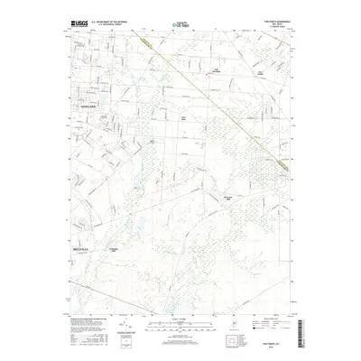
2016 Map of Five Points
USGS Topo · Published 2016About this map
Vineland and Millville anchor this coastal plain landscape, where the residential grids of South Jersey meet the dense riparian networks of the Pine Barrens fringe. The map documents a transition from the urbanized streets of East Vineland and the campus of Cumberland County Coll to the more dispersed rural settlements of New Italy and Five Points. This area is defined by its complex hydrology, with the Menantico Cr and its various tributaries like Bear Br and Panther Br feeding into significant water bodies such as Menantico Lake and Cumberland Pond. The historical industrial footprint is evident at Bennetts Mill and Leamings Mill, sites that reflect the region's long reliance on water power along these slow-moving branches. Navigation across these wetlands is supported by localized landmarks like Hances Bridge and a network of secondary roads including Co Rd 540 and Menantico Rd.
Find a feature on this map
132 named features on this map. Tap any name to fly to it.
Don’t see what you’re looking for? This feature index may not catch every label — zoom into the map to look around manually.
Map Details
Editions of this 2016 Five Points Map
This is the sole edition of this map. No revisions or reprints were ever made.
Other maps of this area

1890 · Hammonton
USGS Topo · 1:62,500

1890 · Tuckahoe
USGS Topo · 1:62,500

1890 · Bridgeton
USGS Topo · 1:62,500

1890 · Glassboro
USGS Topo · 1:62,500

1893 · Tuckahoe
USGS Topo · 1:62,500

1894 · Hammonton
USGS Topo · 1:62,500

1894 · Bridgeton
USGS Topo · 1:62,500

1898 · Glassboro
USGS Topo · 1:62,500

1898 · Hammonton
USGS Topo · 1:62,500

1899 · Vineland
USGS Topo · 1:125,000