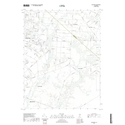
2019 Map of Five Points
USGS Topo · Published 2019About this map
Vineland and the eastern edge of Millville anchor this 2019 survey of the South Jersey landscape. The map captures a transition from the urban street grids of the county's major cities to the agricultural and wooded interiors of New Italy and Five Points. This area is defined by its water system, where the Menantico Cr and its many tributaries, such as Cossa Boone Br and Bear Br, flow toward the Manumuskin River.
Find a feature on this map
80 named features on this map. Tap any name to fly to it.
Don’t see what you’re looking for? This feature index may not catch every label — zoom into the map to look around manually.
Map Details
Editions of this 2019 Five Points Map
This is the sole edition of this map. No revisions or reprints were ever made.
Other maps of this area

1890 · Hammonton
USGS Topo · 1:62,500

1890 · Tuckahoe
USGS Topo · 1:62,500

1890 · Bridgeton
USGS Topo · 1:62,500

1890 · Glassboro
USGS Topo · 1:62,500

1893 · Tuckahoe
USGS Topo · 1:62,500

1894 · Hammonton
USGS Topo · 1:62,500

1894 · Bridgeton
USGS Topo · 1:62,500

1898 · Glassboro
USGS Topo · 1:62,500

1898 · Hammonton
USGS Topo · 1:62,500

1899 · Vineland
USGS Topo · 1:125,000