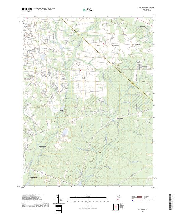
2023 Map of Five Points
USGS Topo · Published 2023About this map
Vineland and the surrounding Pine Barrens landscape of Cumberland County are defined by an intricate network of waterways and early industrial settlements. The map highlights the transition from the city of Millville north through the agricultural and residential pockets of New Italy and East Vineland. The hydrology of the area is exceptionally detailed, featuring the expansive Menantico Lake and its primary artery, Menantico Creek, alongside smaller tributaries like Cossa Boones Branch and Chincopin Branch. These water sources historically supported local industry, evidenced by the sites of Leamings Mill and Bennetts Mill. Local heritage is anchored by landmarks such as the Saint Marys Church Cem and Our Lady of Pompeii Cem, which serve as genealogical touchstones for the families who settled this corner of Southern New Jersey.
Find a feature on this map
137 named features on this map. Tap any name to fly to it.
Don’t see what you’re looking for? This feature index may not catch every label — zoom into the map to look around manually.
Map Details
Editions of this 2023 Five Points Map
This is the sole edition of this map. No revisions or reprints were ever made.
Other maps of this area

1890 · Hammonton
USGS Topo · 1:62,500

1890 · Tuckahoe
USGS Topo · 1:62,500

1890 · Bridgeton
USGS Topo · 1:62,500

1890 · Glassboro
USGS Topo · 1:62,500

1893 · Tuckahoe
USGS Topo · 1:62,500

1894 · Hammonton
USGS Topo · 1:62,500

1894 · Bridgeton
USGS Topo · 1:62,500

1898 · Glassboro
USGS Topo · 1:62,500

1898 · Hammonton
USGS Topo · 1:62,500

1899 · Vineland
USGS Topo · 1:125,000