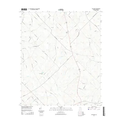
2014 Map of Five Points
USGS Topo · Published 2014About this map
Five Points serves as a central junction within this Laurens County landscape, where rural routes like Five Points Rd and Baker Church Rd converge. The terrain is defined by a complex drainage system featuring Lime Sink Cr and Ochwalkee Cr, along with distinct geological depressions such as the Cochran Lime Sink. The presence of the Davidson Lookout Tower near Us-319 highlights the historical importance of forestry monitoring in this part of Georgia. Genealogists will find a high density of family burial grounds dispersed across the quadrangle, including the Coleman Cem, Register Cem, Keen Cem, and Hobbs Cem. These sites, often located near old farm roads like Coleman Farm Rd, offer a window into the settlement patterns and long-standing family ties that have shaped this community south of Dublin.
Find a feature on this map
86 named features on this map. Tap any name to fly to it.
Don’t see what you’re looking for? This feature index may not catch every label — zoom into the map to look around manually.
Map Details
Editions of this 2014 Five Points Map
This is the sole edition of this map. No revisions or reprints were ever made.
Other maps of this area

1957 · Macon
USGS Topo · 1:250,000

1958 · Macon
USGS Topo · 1:250,000

1964 · Macon
USGS Topo · 1:250,000

1970 · Alamo
USGS Topo · 1:24,000

1972 · Mc Rae NW
USGS Topo · 1:24,000

1972 · Jay Bird Springs
USGS Topo · 1:24,000

1973 · Cadwell
USGS Topo · 1:24,000

1974 · Lowery
USGS Topo · 1:24,000

1974 · Five Points
USGS Topo · 1:24,000

1974 · Rentz
USGS Topo · 1:24,000