
1972 Map of Mc Rae NW
USGS Topo · Published 1975About this map
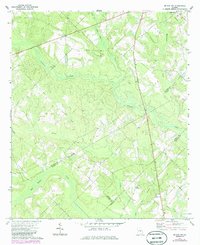
Cedar Grove serves as the primary settlement hub in this rural landscape of the Georgia coastal plain during the early 1970s. The area is defined by its complex drainage network, where Gum Swamp Creek and Alligator Creek wind through a patchwork of woodland and cleared fields. This topography influenced the placement of community landmarks, often found on slightly higher ground away from the low-lying creeks.
Find a feature on this map
21 named features on this map. Tap any name to fly to it.
Don’t see what you’re looking for? This feature index may not catch every label — zoom into the map to look around manually.
Map Details
Editions of this 1972 Mc Rae NW Map
2 editions found
Other maps of this area

1957 · Macon
USGS Topo · 1:250,000

1958 · Macon
USGS Topo · 1:250,000

1964 · Macon
USGS Topo · 1:250,000

1970 · Scotland
USGS Topo · 1:24,000

1970 · Alamo
USGS Topo · 1:24,000

1972 · Jay Bird Springs
USGS Topo · 1:24,000
1972 · Milan
USGS Topo · 1:24,000
1972 · Mc Rae
USGS Topo · 1:24,000

1973 · Cadwell
USGS Topo · 1:24,000

1974 · Lowery
USGS Topo · 1:24,000