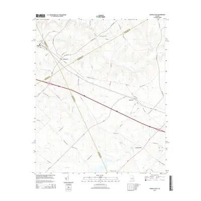
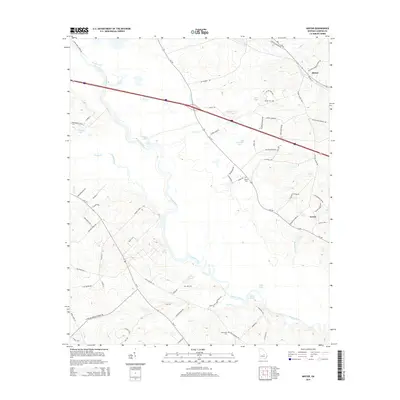
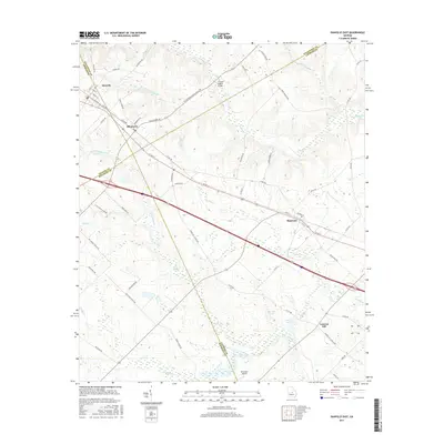
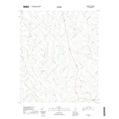
1972 Map of Mc Rae NW
USGS Topo · Published 1986About this map
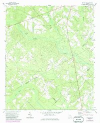
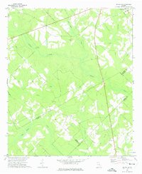
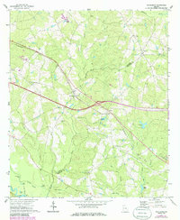
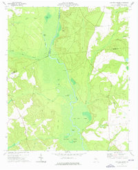
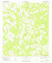
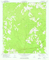
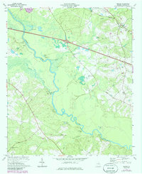
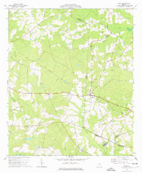
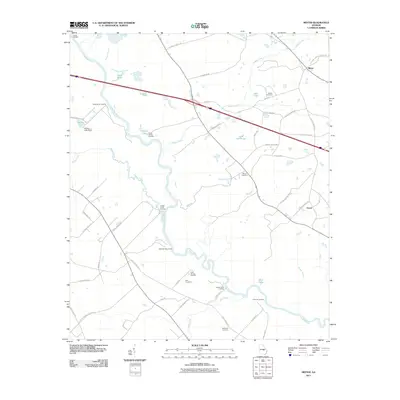
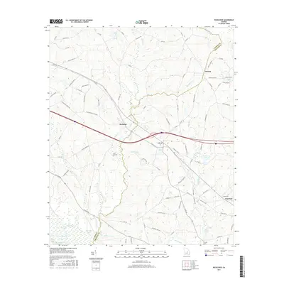
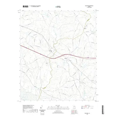
Cedar Grove serves as the primary focal point of this rural Georgia landscape where the borders of Laurens, Dodge, Wheeler, and Telfair counties converge. The terrain is defined by a dense network of waterways, including Gum Swamp Creek, Alligator Creek, and Whitewater Creek, which carve through the lowlands. This survey illustrates the distribution of community landmarks away from the main settlements, showing scattered country churches like New Bethel Ch and Mt Olivet Ch. Genealogists will find significant value in the documentation of several family and community burial grounds, such as New Hope Cem, Burch Cem, Antioch Cem, and Harrelson Cem. The drainage patterns, particularly around Lime Sink Creek and Little Joiner Cr, suggest a wetland-heavy environment that influenced the placement of roads and homesteads throughout the mid-20th century.
Find a feature on this map
19 named features on this map. Tap any name to fly to it.
Don’t see what you’re looking for? This feature index may not catch every label — zoom into the map to look around manually.
Map Details
Editions of this 1972 Mc Rae NW Map
2 editions found
Historical Maps of Laurens County Through Time
48 maps found
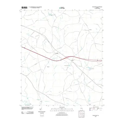
1971 Rockledge
Laurens County, GA
1972 Mc Rae NW
Laurens County, GA
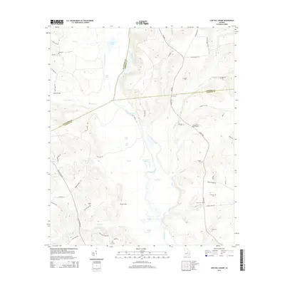
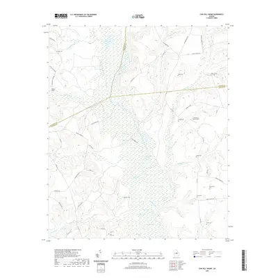
1974 Cow Hell Swamp
Laurens County, GA

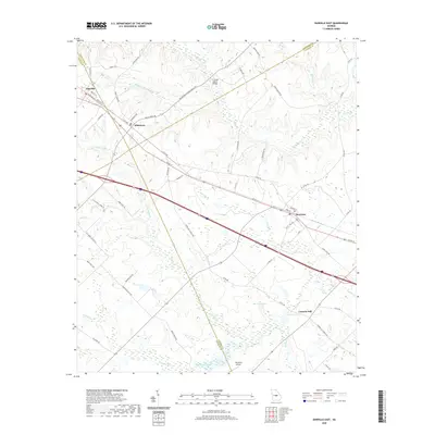
1974 Danville East
Laurens County, GA
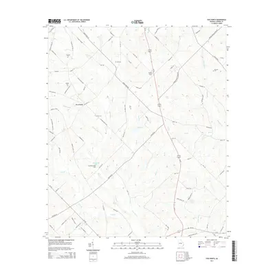
1974 Five Points
Laurens County, GA
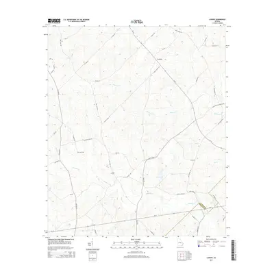
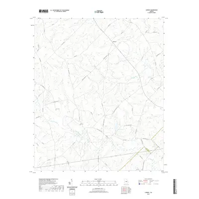
1974 Lowery
Laurens County, GA
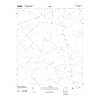
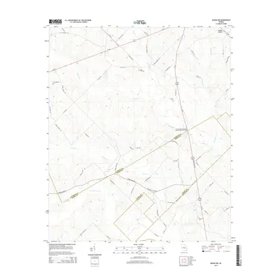
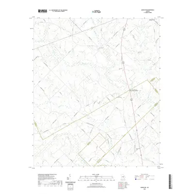
1974 Minter
Laurens County, GA
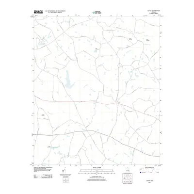
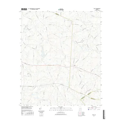
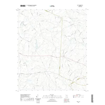
1974 Scott
Laurens County, GA
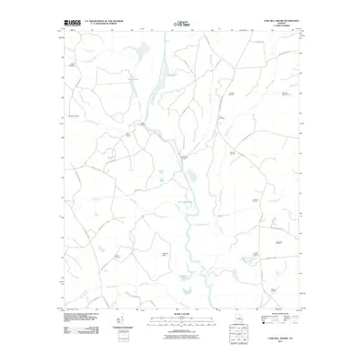
2011 Cow Hell Swamp
Laurens County, GA
2011 Danville East
Laurens County, GA

2011 Five Points
Laurens County, GA
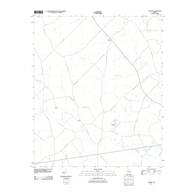
2011 Lowery
Laurens County, GA
2011 McRae NW
Laurens County, GA
2011 Minter
Laurens County, GA
2011 Rockledge
Laurens County, GA
2011 Scott
Laurens County, GA
2014 Cow Hell Swamp
Laurens County, GA
2014 Danville East
Laurens County, GA
2014 Five Points
Laurens County, GA
2014 Lowery
Laurens County, GA
2014 McRae NW
Laurens County, GA
2014 Minter
Laurens County, GA
2014 Rockledge
Laurens County, GA
2014 Scott
Laurens County, GA
2017 Cow Hell Swamp
Laurens County, GA
2017 Danville East
Laurens County, GA

2017 Five Points
Laurens County, GA
2017 Lowery
Laurens County, GA
2017 McRae NW
Laurens County, GA
2017 Minter
Laurens County, GA
2017 Rockledge
Laurens County, GA
2017 Scott
Laurens County, GA
2020 Cow Hell Swamp
Laurens County, GA
2020 Danville East
Laurens County, GA
2020 Five Points
Laurens County, GA
2020 Lowery
Laurens County, GA
2020 McRae NW
Laurens County, GA
2020 Minter
Laurens County, GA
2020 Rockledge
Laurens County, GA
2020 Scott
Laurens County, GA
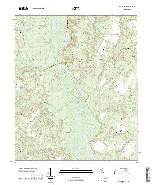
2024 Cow Hell Swamp
Laurens County, GA
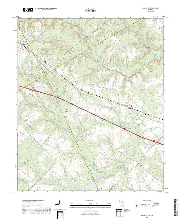
2024 Danville East
Laurens County, GA
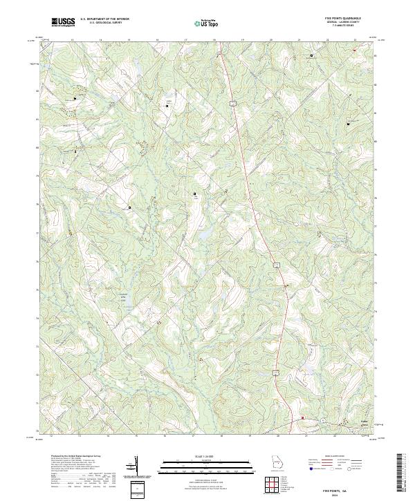
2024 Five Points
Laurens County, GA
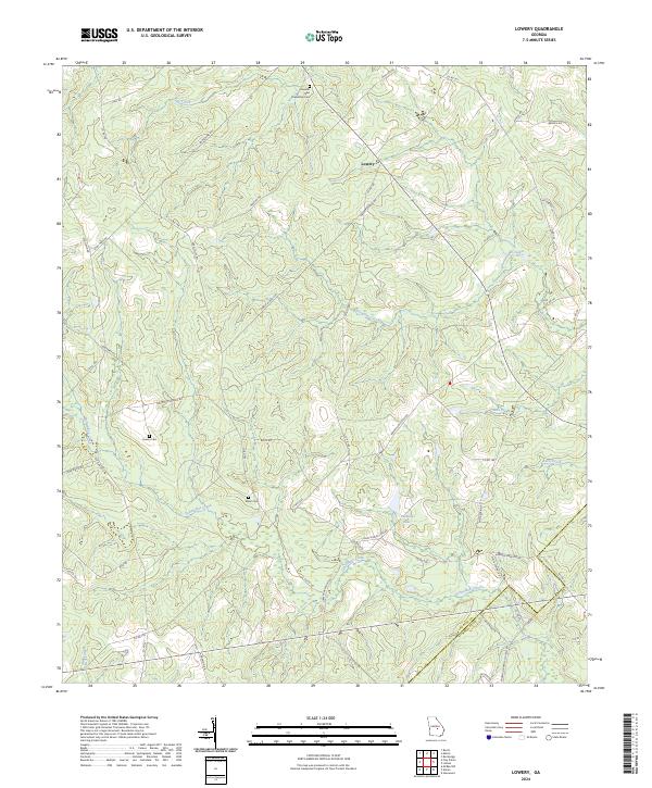
2024 Lowery
Laurens County, GA
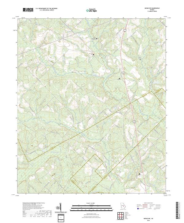
2024 McRae NW
Laurens County, GA
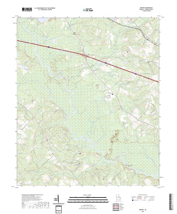
2024 Minter
Laurens County, GA
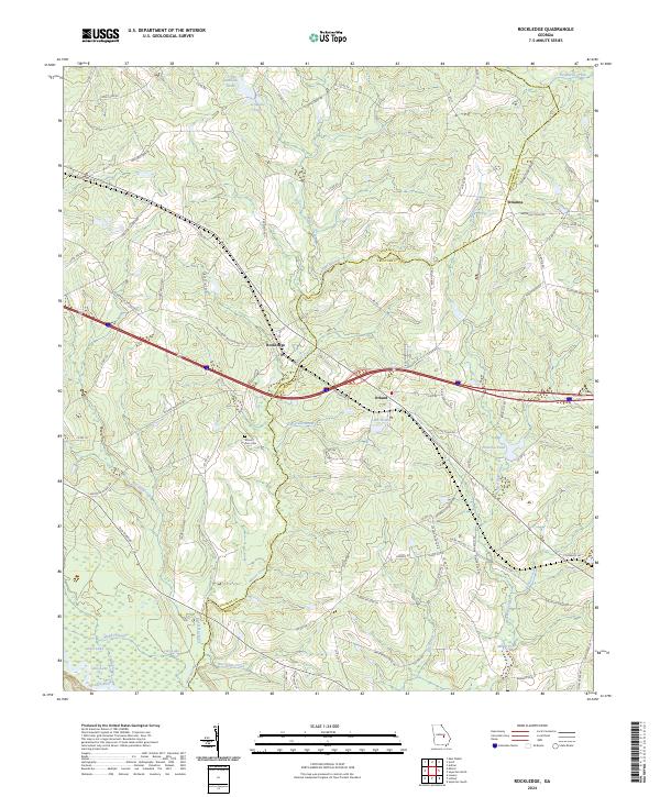
2024 Rockledge
Laurens County, GA
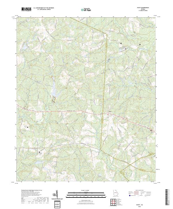
2024 Scott
Laurens County, GA