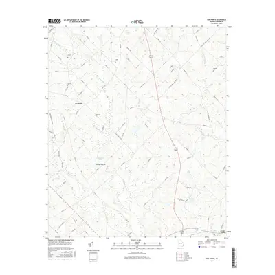
2017 Map of Five Points
USGS Topo · Published 2017About this map
Five Points serves as a central hub for the surrounding Laurens County countryside, where a complex network of local routes like G R Register Rd and Fordham Rd converge. The landscape is defined by its distinct karst-like hydrology, featuring numerous depressions and specialized water bodies such as Cochran Lime Sink, Lime Sink Cr, and Gay Pond. This topography influenced the placement of family settlements and burial grounds throughout the area.
Find a feature on this map
81 named features on this map. Tap any name to fly to it.
Don’t see what you’re looking for? This feature index may not catch every label — zoom into the map to look around manually.
Map Details
Editions of this 2017 Five Points Map
This is the sole edition of this map. No revisions or reprints were ever made.
Other maps of this area

1957 · Macon
USGS Topo · 1:250,000

1958 · Macon
USGS Topo · 1:250,000

1964 · Macon
USGS Topo · 1:250,000

1970 · Alamo
USGS Topo · 1:24,000

1972 · Mc Rae NW
USGS Topo · 1:24,000

1972 · Jay Bird Springs
USGS Topo · 1:24,000

1973 · Cadwell
USGS Topo · 1:24,000

1974 · Lowery
USGS Topo · 1:24,000

1974 · Five Points
USGS Topo · 1:24,000

1974 · Rentz
USGS Topo · 1:24,000