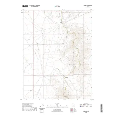
2020 Map of Fivemile Pass
USGS Topo · Published 2020About this map
Fairfield sits at the northeastern edge of this desert landscape, where the rugged topography of the Thorpe Hills meets the valley floor. The map documents a complex network of resource and access roads, including Treasure Rd and Poker Knoll Rd, which navigate a series of significant mountain gaps. These natural corridors, such as Fivemile Pass and Sevenmile Pass, have long served as vital passage points through the arid terrain between Tooele and Utah counties.
Find a feature on this map
33 named features on this map. Tap any name to fly to it.
Don’t see what you’re looking for? This feature index may not catch every label — zoom into the map to look around manually.
Map Details
Editions of this 2020 Fivemile Pass Map
This is the sole edition of this map. No revisions or reprints were ever made.
Other maps of this area

1885 · Tooele Valley
USGS Topo · 1:250,000

1915 · Fairfield
USGS Topo · 1:62,500

1917 · Fairfield
USGS Topo · 1:62,500

1918 · Stockton
USGS Topo · 1:62,500

1947 · Fivemile Pass
USGS Topo · 1:62,500

1947 · Allens Ranch
USGS Topo · 1:24,000

1947 · Boulter Peak
USGS Topo · 1:24,000

1947 · Goshen Pass
USGS Topo · 1:24,000

1949 · Allens Ranch
USGS Topo · 1:24,000

1949 · Fivemile Pass
USGS Topo · 1:24,000