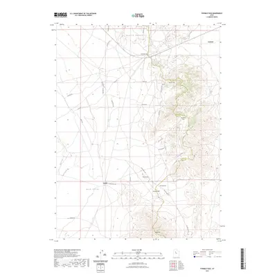
2023 Map of Fivemile Pass
USGS Topo · Published 2023About this map
The southern reach of the Oquirrh Mountains meets the wide expanse of Rush Valley in this modern topographic study of the border between Utah and Tooele counties. The settlement of Fairfield anchors the northeastern corner, while the historic rail and mining corridor near Topliff and Topliff Hill marks the southern landscape. The terrain is defined by a series of named gaps and rises, including Fivemile Pass, Sevenmile Pass, and Tenmile Pass, which have long served as vital transit points through the Thorpe Hills.
Find a feature on this map
36 named features on this map. Tap any name to fly to it.
Don’t see what you’re looking for? This feature index may not catch every label — zoom into the map to look around manually.
Map Details
Editions of this 2023 Fivemile Pass Map
This is the sole edition of this map. No revisions or reprints were ever made.
Other maps of this area

1885 · Tooele Valley
USGS Topo · 1:250,000

1915 · Fairfield
USGS Topo · 1:62,500

1917 · Fairfield
USGS Topo · 1:62,500

1918 · Stockton
USGS Topo · 1:62,500

1947 · Fivemile Pass
USGS Topo · 1:62,500

1947 · Allens Ranch
USGS Topo · 1:24,000

1947 · Boulter Peak
USGS Topo · 1:24,000

1947 · Goshen Pass
USGS Topo · 1:24,000

1949 · Allens Ranch
USGS Topo · 1:24,000

1949 · Fivemile Pass
USGS Topo · 1:24,000