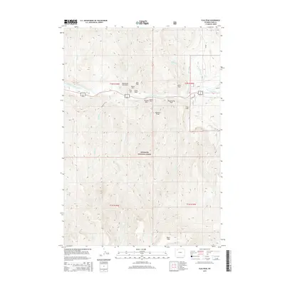
2015 Map of Flag Peak
USGS Topo · Published 2015About this map
Holy City stands as a notable formation of volcanic pillars and spires along the North Fork Shoshone River corridor in this 2015 survey. Located within the Shoshone National Forest, the map details a landscape dominated by the high elevations of the Absaroka Range, where vertical relief is defined by Wapiti Ridge and Flag Peak. The presence of the Big Cr Ditch and Canyon Cr Ditch suggests a history of water management to support activities in the valley below the surrounding peaks.
Find a feature on this map
38 named features on this map. Tap any name to fly to it.
Don’t see what you’re looking for? This feature index may not catch every label — zoom into the map to look around manually.
Map Details
Editions of this 2015 Flag Peak Map
This is the sole edition of this map. No revisions or reprints were ever made.
Other maps of this area

1893 · Ishawooa
USGS Topo · 1:125,000

1895 · Ishawooa
USGS Topo · 1:125,000

1896 · Crandall Creek
USGS Topo · 1:125,000

1899 · Crandall
USGS Topo · 1:125,000

1899 · Ishawooa
USGS Topo · 1:125,000

1949 · Pat O'Hara Mountain
USGS Topo · 1:62,500

1955 · Cody
USGS Topo · 1:250,000

1956 · Dead Indian Peak
USGS Topo · 1:62,500

1957 · Wapiti
USGS Topo · 1:62,500

1958 · Cody
USGS Topo · 1:250,000