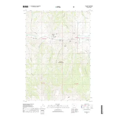
2017 Map of Flag Peak
USGS Topo · Published 2017About this map
The Absaroka Range dominates this landscape within the Shoshone National Forest, where the North Fork Shoshone River carves a central path through the terrain. The topography is defined by a series of uniquely named geological formations along the river corridor, including Old Woman Cabin Rock, Slipper Rock, and the complex known as Holy City. These landmarks likely served as vital navigation points for early travelers through the mountain passes.
Find a feature on this map
39 named features on this map. Tap any name to fly to it.
Don’t see what you’re looking for? This feature index may not catch every label — zoom into the map to look around manually.
Map Details
Editions of this 2017 Flag Peak Map
This is the sole edition of this map. No revisions or reprints were ever made.
Other maps of this area

1893 · Ishawooa
USGS Topo · 1:125,000

1895 · Ishawooa
USGS Topo · 1:125,000

1896 · Crandall Creek
USGS Topo · 1:125,000

1899 · Crandall
USGS Topo · 1:125,000

1899 · Ishawooa
USGS Topo · 1:125,000

1949 · Pat O'Hara Mountain
USGS Topo · 1:62,500

1955 · Cody
USGS Topo · 1:250,000

1956 · Dead Indian Peak
USGS Topo · 1:62,500

1957 · Wapiti
USGS Topo · 1:62,500

1958 · Cody
USGS Topo · 1:250,000