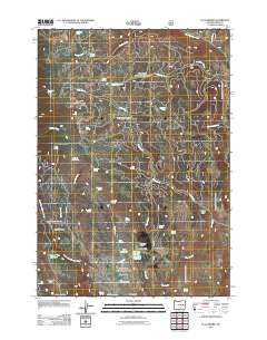
2011 Map of Flag Prairie
USGS Topo · Published 2011About this map
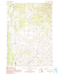
Flag Prairie and its associated Flag Prairie Cow Camp center this 2011 U.S. Geological Survey of Grant County, where the high-altitude landscape is defined by its seasonal water sources and grazing lands. The map details a sophisticated network of springs, including Canteeno Spring, Seven D Bar Spring, and Sage Hen Spring, which sustain life across the high terrain of Rattlesnake Ridge and Prairie Hill. Significant drainage systems like the Little Malheur River and North Fork Malheur River carve through the geography, alongside smaller named features like Lost Dog Flat and Bear Creek Meadow. This modern survey reveals the continued reliance on water management in the high desert, evidenced by the WPA Reservoir and the Burned Tree Reservoir. For those interested in public land use, the map marks the Crane Creek Campground and various Forest Service roads such as Ndfr 1675 that provide access to this remote portion of Oregon.
Find a feature on this map
51 named features on this map. Tap any name to fly to it.
Don’t see what you’re looking for? This feature index may not catch every label — zoom into the map to look around manually.
Map Details
Editions of this 2011 Flag Prairie Map
This is the sole edition of this map. No revisions or reprints were ever made.
Other maps of this area

1908 · Ironside Mountain
USGS Topo · 1:125,000

1955 · Canyon City
USGS Topo · 1:250,000

1959 · Canyon City
USGS Topo · 1:250,000

1970 · Flag Prairie
USGS Topo · 1:62,500

1970 · Castle Rock
USGS Topo · 1:62,500
1972 · Bullrun Rock
USGS Topo · 1:24,000
1972 · Rastus Mtn
USGS Topo · 1:24,000
1972 · Little Baldy Mnt.
USGS Topo · 1:24,000

1978 · John Day
USGS Topo · 1:100,000
1990 · Clevenger Butte
USGS Topo · 1:24,000