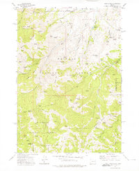
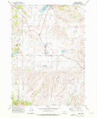
1972 Map of Rastus Mtn
USGS Topo · Published 1976About this map
Whitman National Forest and Malheur National Forest converge in this high-elevation terrain, defined by a complex network of 19th-century water infrastructure. The map illustrates the legacy of regional mining through the extensive paths of the Eldorado Ditch, Williams Ditch, and Johnson Ditch, which once carried water across the divide to gold claims. These engineering works wrap around the flanks of Rastus Mtn and Bullrun Mountain, connecting remote drainages like Whiskey Gulch to the broader watershed. Notable sites of early extraction remain visible, including the Thomason Mine and Schwayder Mine near the northern boundary. Dozens of named water sources like Hole in the Ground Spring and Lost Cow Spring are documented, highlighting the importance of reliable water for both historical mining operations and the grazing interests of Baker County.
Find a feature on this map
80 named features on this map. Tap any name to fly to it.
Don’t see what you’re looking for? This feature index may not catch every label — zoom into the map to look around manually.
Map Details
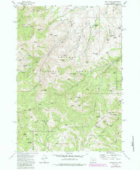
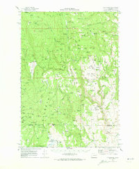
Editions of this 1972 Rastus Mtn Map
2 editions found
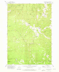
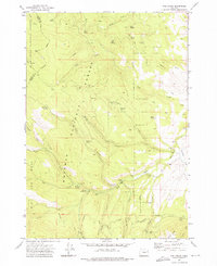
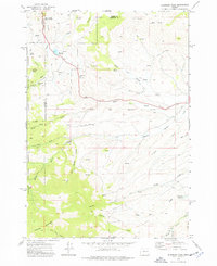
Other maps of this area

1908 · Ironside Mountain
USGS Topo · 1:125,000

1955 · Canyon City
USGS Topo · 1:250,000

1959 · Canyon City
USGS Topo · 1:250,000
1970 · Flag Prairie
USGS Topo · 1:62,500
1970 · Castle Rock
USGS Topo · 1:62,500

1972 · Hereford
USGS Topo · 1:24,000
1972 · Unity
USGS Topo · 1:24,000
1972 · Bullrun Rock
USGS Topo · 1:24,000
1972 · Rail Gulch
USGS Topo · 1:24,000
1972 · Eldorado Pass
USGS Topo · 1:24,000