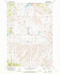
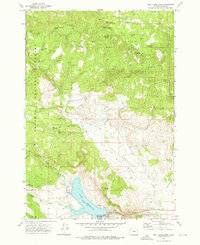
1972 Map of Unity
USGS Topo · Published 1976About this map
Unity functions as the central hub of this eastern Oregon landscape in the early 1970s, situated at the confluence of several essential water systems. The Burnt River and Job Creek feed into the Unity Reservoir, which supports the adjacent Unity Lake State Park. Infrastructure for this remote ranching and timber community is well-documented, including the Burnt River High School, a Substation, and the Ellingson Landing Strip.
Find a feature on this map
46 named features on this map. Tap any name to fly to it.
Don’t see what you’re looking for? This feature index may not catch every label — zoom into the map to look around manually.
Map Details
Editions of this 1972 Unity Map
2 editions found

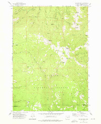
Other maps of this area

1901 · Sumpter
USGS Topo · 1:125,000

1908 · Ironside Mountain
USGS Topo · 1:125,000

1955 · Canyon City
USGS Topo · 1:250,000

1959 · Canyon City
USGS Topo · 1:250,000

1972 · Hereford
USGS Topo · 1:24,000
1972 · Bullrun Rock
USGS Topo · 1:24,000
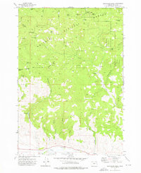
1972 · Beaverdam Creek
USGS Topo · 1:24,000
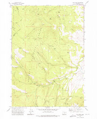
1972 · Rail Gulch
USGS Topo · 1:24,000
1972 · Unity Reservoir
USGS Topo · 1:24,000
1972 · Rastus Mtn
USGS Topo · 1:24,000