
1972 Map of Unity
USGS Topo · Published 1985About this map
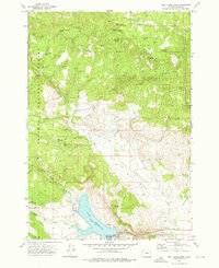
Unity sits at the confluence of several vital water systems in this part of Baker County, where the Burnt River and Job Creek feed into the Unity Reservoir. The landscape is a mix of agricultural infrastructure and mountain resources, evidenced by the Elms Ditch irrigation network and the Whitman National Forest boundary. Local education and community life are anchored at the Burnt River High Sch and the Unity Cem, while the industrial character of the region is reflected in the Dredge Tailings along Shirts Creek and the presence of the Record Mine. The map also highlights mid-century recreation and transit, featuring Unity Lake State Park, complete with a Picnic Area and Campground, alongside the Ellingson Landing Strip.
Find a feature on this map
36 named features on this map. Tap any name to fly to it.
Don’t see what you’re looking for? This feature index may not catch every label — zoom into the map to look around manually.
Map Details
Editions of this 1972 Unity Map
2 editions found
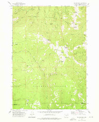
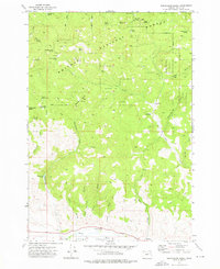
Other maps of this area

1901 · Sumpter
USGS Topo · 1:125,000

1908 · Ironside Mountain
USGS Topo · 1:125,000

1955 · Canyon City
USGS Topo · 1:250,000

1959 · Canyon City
USGS Topo · 1:250,000

1972 · Hereford
USGS Topo · 1:24,000
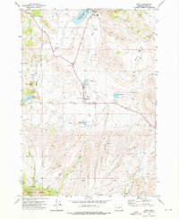
1972 · Unity
USGS Topo · 1:24,000
1972 · Bullrun Rock
USGS Topo · 1:24,000
1972 · Beaverdam Creek
USGS Topo · 1:24,000
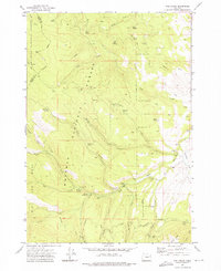
1972 · Rail Gulch
USGS Topo · 1:24,000
1972 · Unity Reservoir
USGS Topo · 1:24,000