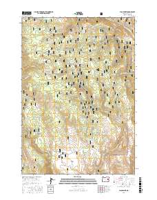
2017 Map of Flag Prairie
USGS Topo · Published 2017About this map
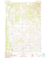
Malheur National Forest dominates this high-elevation landscape in Grant County, where the headwaters of the North Fork Malheur River cut through a network of ridges and meadows. This 2017 survey shows a complex hydraulic system of small-scale mountain reservoirs, including the WPA Reservoir, Lost Dog Reservoir, and Burned Tree Reservoir, illustrating modern land management within the forest boundaries. The terrain is defined by broad openings like Flag Prairie and Bear Creek Meadow, which contrast with prominent landforms such as Rattlesnake Ridge and Bingham Point. Genealogists and historians can trace the naming of the land through descriptive local labels like Sagehen Gulch and Telephone Gulch, while numerous springs like McKenzie Spring and Schlupe Spring indicate the critical importance of water sources in this high-desert forest environment.
Find a feature on this map
63 named features on this map. Tap any name to fly to it.
Don’t see what you’re looking for? This feature index may not catch every label — zoom into the map to look around manually.
Map Details
Editions of this 2017 Flag Prairie Map
This is the sole edition of this map. No revisions or reprints were ever made.
Other maps of this area

1908 · Ironside Mountain
USGS Topo · 1:125,000

1955 · Canyon City
USGS Topo · 1:250,000

1959 · Canyon City
USGS Topo · 1:250,000

1970 · Flag Prairie
USGS Topo · 1:62,500

1970 · Castle Rock
USGS Topo · 1:62,500
1972 · Bullrun Rock
USGS Topo · 1:24,000
1972 · Rastus Mtn
USGS Topo · 1:24,000
1972 · Little Baldy Mnt.
USGS Topo · 1:24,000

1978 · John Day
USGS Topo · 1:100,000
1990 · Clevenger Butte
USGS Topo · 1:24,000