
1969 Map of Flagg Springs
USGS Topo · Published 1971About this map
Flagg Springs anchors the high plains landscape of western Oklahoma in this late-1960s survey. The terrain is defined by the sharp rise of Wolf Mountain to the northeast and the drainage of Adobe Draw cutting through the southern plateau. As a record of the era's infrastructure, the map highlights the prominent transit corridor of the Atchison Topeka and Santa Fe railroad, which runs parallel to the primary highway artery. The map illustrates a rural economy reliant on water and transport, dotted with numerous Wells and a network of service corridors including a Pipeline and a Trail that suggests older patterns of movement across the prairie. The presence of Boise City Airport on the eastern edge of the sheet reflects the mid-century modernization of transportation in Cimarron County, while a nearby Gravel Pit indicates local industry supporting road and rail development.
Find a feature on this map
17 named features on this map. Tap any name to fly to it.
Don’t see what you’re looking for? This feature index may not catch every label — zoom into the map to look around manually.
Map Details
Editions of this 1969 Flagg Springs Map
This is the sole edition of this map. No revisions or reprints were ever made.
Other maps of this area

1954 · Dalhart
USGS Topo · 1:250,000

1958 · Dalhart
USGS Topo · 1:250,000

1962 · Dalhart
USGS Topo · 1:250,000

1968 · Autograph Cliff NW
USGS Topo · 1:24,000

1969 · Boise City
USGS Topo · 1:24,000

1969 · Boise City NW
USGS Topo · 1:24,000
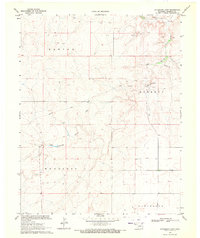
1969 · Autograph Cliff
USGS Topo · 1:24,000
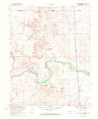
1969 · Razor Blade Mesa
USGS Topo · 1:24,000

1971 · Keyes SW
USGS Topo · 1:24,000

1971 · Keyes NW
USGS Topo · 1:24,000