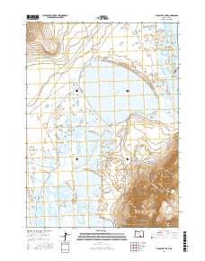
2017 Map of Flagstaff Lake
USGS Topo · Published 2017About this map
Warner Valley dominates this high-desert basin, where a series of shallow lakes and expansive wetlands create a distinct hydrological landscape in Lake County. The waters of Flagstaff Lake, Mugwump Lake, Swamp Lake, and Anderson Lake fill the low-lying reaches of the valley floor, reflecting the seasonal and ephemeral nature of the Oregon interior. To the west, the Rabbit Hills rise above the valley, while the eastern edge is defined by the dramatic ascent toward Hart Mtn.
Find a feature on this map
17 named features on this map. Tap any name to fly to it.
Don’t see what you’re looking for? This feature index may not catch every label — zoom into the map to look around manually.
Map Details
Editions of this 2017 Flagstaff Lake Map
This is the sole edition of this map. No revisions or reprints were ever made.
Other maps of this area

1955 · Adel
USGS Topo · 1:250,000

1957 · Adel
USGS Topo · 1:250,000

1958 · Adel
USGS Topo · 1:250,000

1962 · Adel
USGS Topo · 1:250,000

1966 · Rabbit Hills NE
USGS Topo · 1:24,000

1966 · Rabbit Hills NW
USGS Topo · 1:24,000

1967 · Flagstaff Lake
USGS Topo · 1:24,000

1967 · Plush
USGS Topo · 1:24,000

1967 · Rabbit Hills SW
USGS Topo · 1:24,000

1967 · Campbell Lake
USGS Topo · 1:24,000