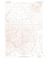
1966 Map of Rabbit Hills NE
USGS Topo · Published 1969About this map
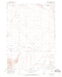
The Sunstone Area defines the northern reaches of this high desert landscape, a region known for its specific mineral deposits. During the mid-1960s, this area of the Oregon backcountry remained largely undeveloped, characterized by the broad, dry expanse of Rabbit Basin and the rising elevations of the Rabbit Hills to the southwest. The presence of fine red dashed lines across the terrain indicates a network of selected fence lines, reflecting the managed rangeland that has long defined the local economy. To the southeast, the geography transitions into the Warner Valley, where the drainage of Rabbit Creek meets the intermittent basins of the Warner Lakes. Researchers can identify specific cattle-country landmarks such as the Corral Waterhole and the extensive Alkali Flat, which signal the arid conditions and seasonal water sources of this remote high-altitude basin.
Find a feature on this map
9 named features on this map. Tap any name to fly to it.
Don’t see what you’re looking for? This feature index may not catch every label — zoom into the map to look around manually.
Map Details
Editions of this 1966 Rabbit Hills NE Map
2 editions found
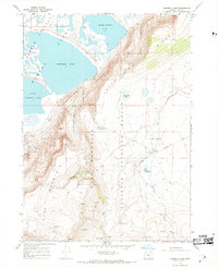
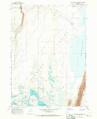
Other maps of this area

1955 · Adel
USGS Topo · 1:250,000

1957 · Adel
USGS Topo · 1:250,000

1958 · Adel
USGS Topo · 1:250,000

1962 · Adel
USGS Topo · 1:250,000
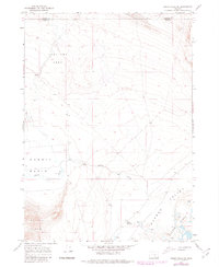
1966 · Rabbit Hills NW
USGS Topo · 1:24,000
1967 · Flagstaff Lake
USGS Topo · 1:24,000
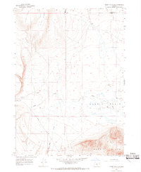
1967 · Rabbit Hills SW
USGS Topo · 1:24,000
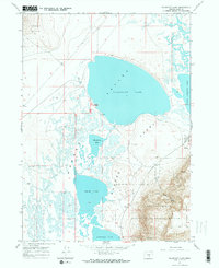
1967 · Campbell Lake
USGS Topo · 1:24,000
1967 · Bluejoint Lake West
USGS Topo · 1:24,000
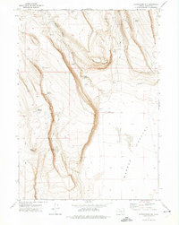
1971 · Corporation Rim
USGS Topo · 1:24,000