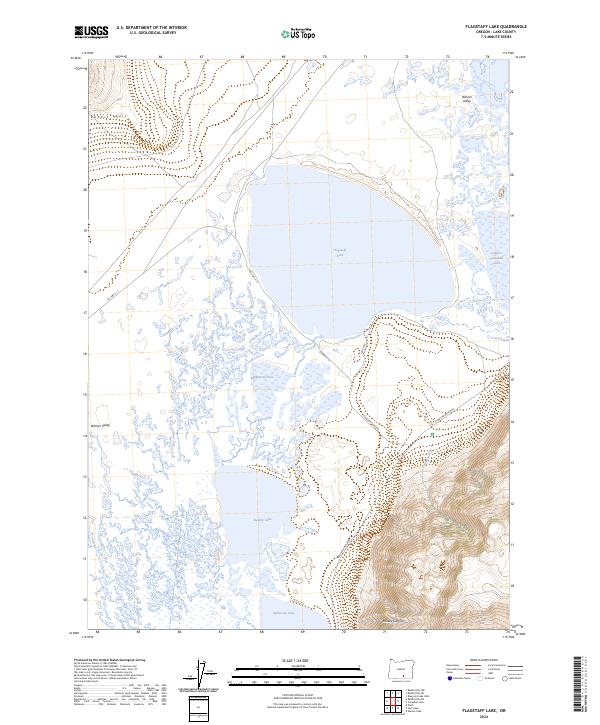
2024 Map of Flagstaff Lake
USGS Topo · Published 2024About this map
Warner Valley forms the high-desert basin for an intricate system of ephemeral and perennial water bodies in this remote section of Lake County. The landscape is defined by the expansive Flagstaff Lake and its neighbors, including Mugwump Lake, Swamp Lake, and Upper Campbell Lake. To the east, the terrain rises sharply into the Hart Mountain National Antelope Refuge, where the drainage of Juniper Creek cuts through the uplands near Mulkey Canyon. Historically significant for its wildlife management and unique hydrology, the area is traversed by routes such as Hart Mountain Rd and Flagstaff Lake Rd. The map illustrates the complex wetlands and alkali flats that characterize this portion of the Great Basin, showing how the Rabbit Hills overlook a valley floor where water levels fluctuate with the seasons.
Find a feature on this map
18 named features on this map. Tap any name to fly to it.
Don’t see what you’re looking for? This feature index may not catch every label — zoom into the map to look around manually.
Map Details
Editions of this 2024 Flagstaff Lake Map
This is the sole edition of this map. No revisions or reprints were ever made.
Other maps of this area

1955 · Adel
USGS Topo · 1:250,000

1957 · Adel
USGS Topo · 1:250,000

1958 · Adel
USGS Topo · 1:250,000

1962 · Adel
USGS Topo · 1:250,000

1966 · Rabbit Hills NE
USGS Topo · 1:24,000

1966 · Rabbit Hills NW
USGS Topo · 1:24,000

1967 · Flagstaff Lake
USGS Topo · 1:24,000

1967 · Plush
USGS Topo · 1:24,000

1967 · Rabbit Hills SW
USGS Topo · 1:24,000

1967 · Campbell Lake
USGS Topo · 1:24,000