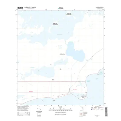
2015 Map of Flamingo
USGS Topo · Published 2015About this map
Everglades National Park dominates this coastal survey, where the southern tip of the Florida peninsula meets the Atlantic Ocean and Florida Bay. The small settlement of Flamingo serves as the focal point for navigation and land access, situated at the termination of the Flamingo Lodge Hwy. This area represents a complex aquatic landscape of mangrove-lined passages and open water, including Whitewater Bay and the Snake Bight Channel.
Find a feature on this map
32 named features on this map. Tap any name to fly to it.
Don’t see what you’re looking for? This feature index may not catch every label — zoom into the map to look around manually.
Map Details
Editions of this 2015 Flamingo Map
This is the sole edition of this map. No revisions or reprints were ever made.
Other maps of this area

1956 · Miami
USGS Topo · 1:250,000

1958 · Miami
USGS Topo · 1:250,000

1972 · Whitewater Bay West
USGS Topo · 1:24,000

1972 · Whitewater Bay East
USGS Topo · 1:24,000

1972 · Mahogany Hammock
USGS Topo · 1:24,000

1972 · Lake Ingraham East
USGS Topo · 1:24,000

1972 · Pelican Keys
USGS Topo · 1:24,000

1972 · West Lake
USGS Topo · 1:24,000

1972 · Sandy Key
USGS Topo · 1:24,000

1972 · Clive Key
USGS Topo · 1:24,000