
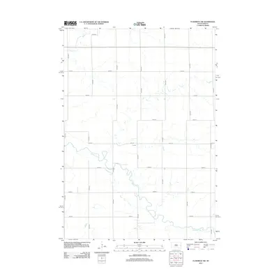
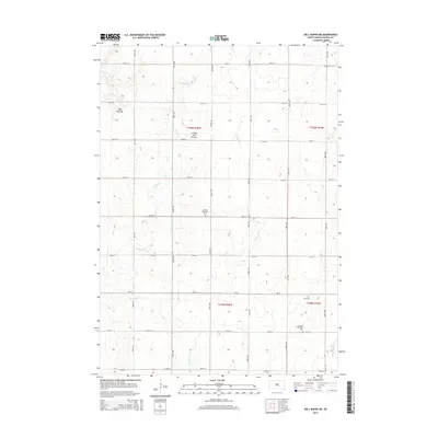
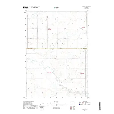
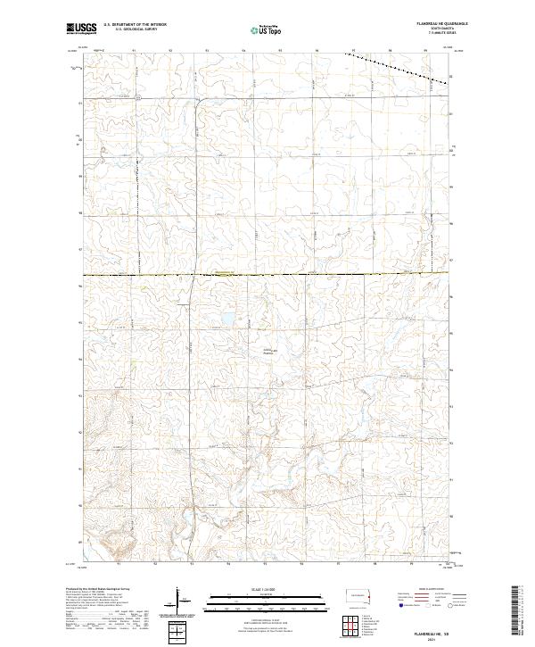
2021 Map of Flandreau SW
USGS Topo · Published 2021About this map
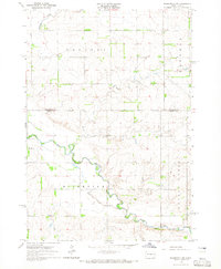
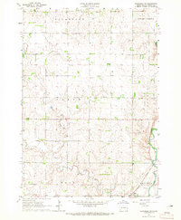
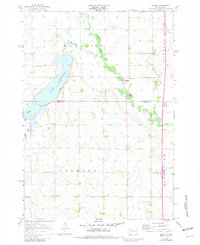
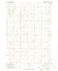
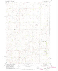
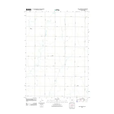
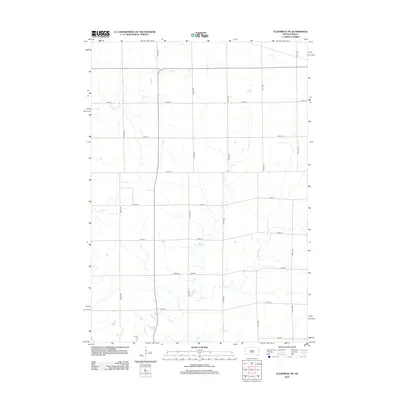
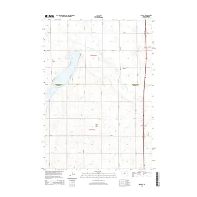
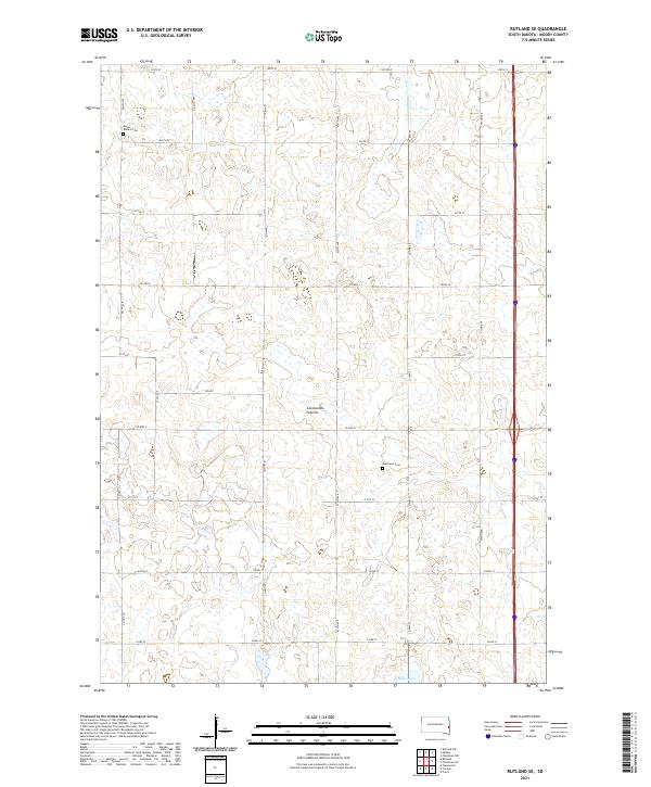
Egan sits in the southeastern corner of this map, positioned near the Big Sioux River and the Jay Heath Canoe & Kayak Trl. The landscape is dominated by the gradual slopes of the Coteau des Prairies, an upland plateau that shapes the hydrology of the region. Streams such as Spring Cr and Squaw Cr drain through the sectioned agricultural land, revealing the characteristic grid pattern of rural South Dakota. For those researching local ancestry or parish history, the presence of the Clare Cem and North Clare Cem provides specific points of interest within the township boundaries of t107n r49w and t108n r49w. The map preserves the modern road network, including Co HWY E, as it serves the farmsteads and small communities of Moody County.
Find a feature on this map
33 named features on this map. Tap any name to fly to it.
Don’t see what you’re looking for? This feature index may not catch every label — zoom into the map to look around manually.
Map Details
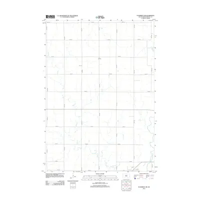
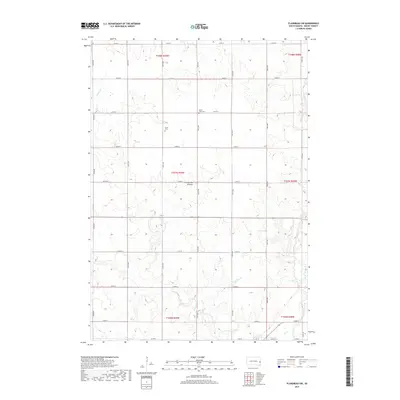
Editions of this 2021 Flandreau SW Map
This is the sole edition of this map. No revisions or reprints were ever made.
Historical Maps of Egan Through Time
30 maps found
1964 Flandreau NW
Moody County, SD
1964 Flandreau SW
Moody County, SD
1964 Medary
Moody County, SD
1964 Rutland SE
Moody County, SD
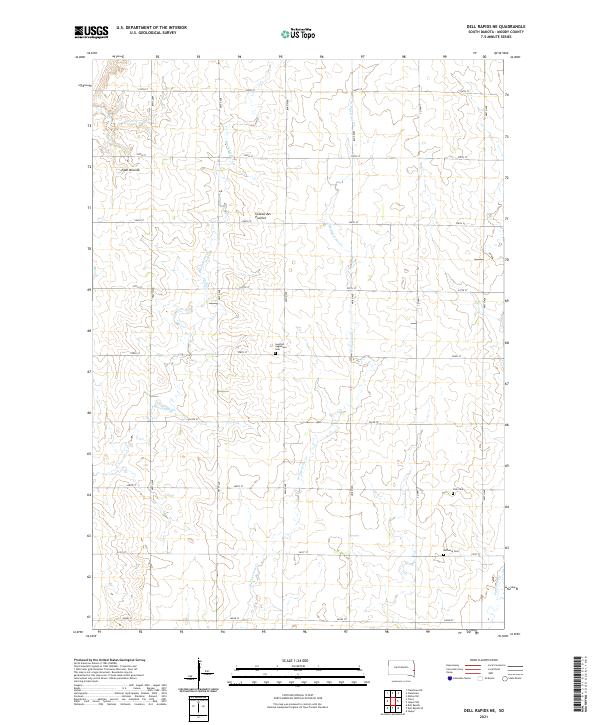
1972 Dell Rapids NE
Moody County, SD
1972 Flandreau NE
Moody County, SD
2012 Dell Rapids NE
Moody County, SD
2012 Flandreau NE
Moody County, SD
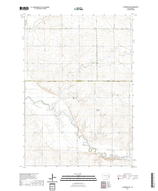
2012 Flandreau NW
Moody County, SD
2012 Flandreau SW
Moody County, SD
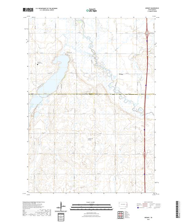
2012 Medary
Moody County, SD
2012 Rutland SE
Moody County, SD
2015 Dell Rapids NE
Moody County, SD
2015 Flandreau NE
Moody County, SD
2015 Flandreau NW
Moody County, SD
2015 Flandreau SW
Moody County, SD
2015 Medary
Moody County, SD
2015 Rutland SE
Moody County, SD
2017 Dell Rapids NE
Moody County, SD
2017 Flandreau NE
Moody County, SD
2017 Flandreau NW
Moody County, SD
2017 Flandreau SW
Moody County, SD
2017 Medary
Moody County, SD
2017 Rutland SE
Moody County, SD
2021 Dell Rapids NE
Moody County, SD
2021 Flandreau NE
Moody County, SD
2021 Flandreau NW
Moody County, SD
2021 Flandreau SW
Moody County, SD
2021 Medary
Moody County, SD
2021 Rutland SE
Moody County, SD