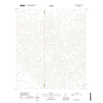
2019 Map of Flat Rock Creek NW
USGS Topo · Published 2019About this map
The divide between Val Verde and Edwards counties marks the center of this 2019 survey, where the Edwards Plateau transitions toward the Rio Grande basin. This landscape is defined by the complex drainage systems of Sycamore Creek and its many branches, including the meandering W Fork Sycamore Cr. Unlike more developed regions, human activity here is largely represented by long-distance infrastructure and remote access. J S Murry Ranch Rd winds through the northwest corner of the quadrangle, serving the large ranching properties that characterize this part of West Texas. In the southeast, Ranch Rd 2523 provides a critical link through the canyon-cut terrain. The map demonstrates the persistent rural character of the borderlands, where watercourses like Sycamore Cr remain the most significant geographic landmarks for navigation and land division.
Find a feature on this map
6 named features on this map. Tap any name to fly to it.
Don’t see what you’re looking for? This feature index may not catch every label — zoom into the map to look around manually.
Map Details
Editions of this 2019 Flat Rock Creek NW Map
This is the sole edition of this map. No revisions or reprints were ever made.
Other maps of this area

1943 · Carta Valley
USGS Topo · 1:62,500

1944 · Flat Rock
USGS Topo · 1:62,500

1944 · Dry Devil
USGS Topo · 1:62,500

1944 · Devils Lake
USGS Topo · 1:62,500

1958 · Del Rio
USGS Topo · 1:250,000

1964 · Del Rio
USGS Topo · 1:250,000

1972 · Miers Ranch
USGS Topo · 1:24,000

1972 · Rough Canyon SE
USGS Topo · 1:24,000
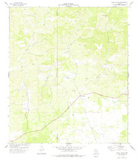
1978 · Carta Valley
USGS Topo · 1:24,000
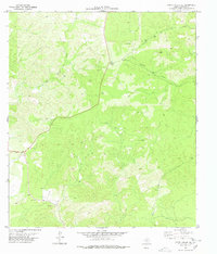
1978 · Carta Valley SE
USGS Topo · 1:24,000