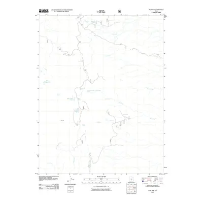
2011 Map of Flat Top
USGS Topo · Published 2011About this map
The high plateau of Flat Top dominates this corner of Wayne County, defined by a complex drainage system and scattered alpine basins. In this modern survey, water resources are the primary landmarks, ranging from the high-elevation Deep Creek Lake and Snow Lake to a network of springs that sustained early livestock and timber operations. The map details the headwaters of Sulphur Creek and Sand Creek, which flow south across the arid landscape. The name Sawmill Spring suggests the historic presence of local industry in a region where timber and water were precious commodities. Other notable water features like Heart Lake, Round Lake, and Neff Reservoir dot the higher elevations, illustrating how the natural topography has been utilized for water storage and management in the high desert of Utah.
Find a feature on this map
23 named features on this map. Tap any name to fly to it.
Don’t see what you’re looking for? This feature index may not catch every label — zoom into the map to look around manually.
Map Details
Editions of this 2011 Flat Top Map
This is the sole edition of this map. No revisions or reprints were ever made.
Other maps of this area

1885 · Fish Lake
USGS Topo · 1:250,000

1896 · Fish Lake
USGS Topo · 1:250,000

1952 · Notom 2 NW
USGS Topo · 1:24,000

1952 · Loa 1 SE
USGS Topo · 1:24,000

1952 · Notom 2 SE
USGS Topo · 1:24,000

1952 · Notom 2 SW
USGS Topo · 1:24,000

1952 · Notom 2 NE
USGS Topo · 1:24,000

1952 · Torrey
USGS Topo · 1:62,500

1952 · Loa 1 NE
USGS Topo · 1:24,000

1956 · Salina
USGS Topo · 1:250,000