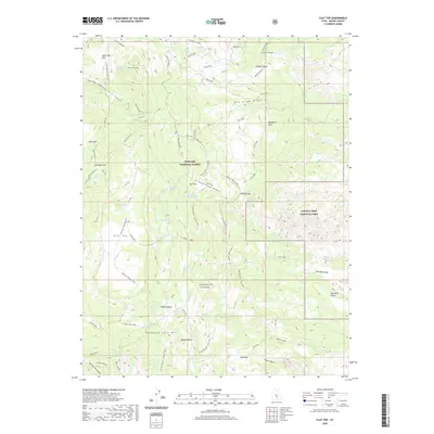
2020 Map of Flat Top
USGS Topo · Published 2020About this map
Fishlake National Forest and the western edge of Capitol Reef National Park converge in this high-altitude landscape dominated by the massive plateau of Thousand Lake Mtn. This 2020 survey reveals a complex network of equestrian and hiking routes, including the Great Western Trail and the Peavine-Thousand Lake trail, which traverse dramatic topography from Hens Hole Peak to the Paradise Draw.
Find a feature on this map
74 named features on this map. Tap any name to fly to it.
Don’t see what you’re looking for? This feature index may not catch every label — zoom into the map to look around manually.
Map Details
Editions of this 2020 Flat Top Map
This is the sole edition of this map. No revisions or reprints were ever made.
Other maps of this area

1885 · Fish Lake
USGS Topo · 1:250,000

1896 · Fish Lake
USGS Topo · 1:250,000

1952 · Notom 2 NW
USGS Topo · 1:24,000

1952 · Loa 1 SE
USGS Topo · 1:24,000

1952 · Notom 2 SE
USGS Topo · 1:24,000

1952 · Notom 2 SW
USGS Topo · 1:24,000

1952 · Notom 2 NE
USGS Topo · 1:24,000

1952 · Torrey
USGS Topo · 1:62,500

1952 · Loa 1 NE
USGS Topo · 1:24,000

1956 · Salina
USGS Topo · 1:250,000