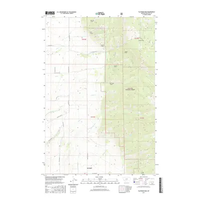
2017 Map of Flathead Pass
USGS Topo · Published 2017About this map
Springhill serves as the primary settlement gateway to the high elevations of the Bridger Range in this modern topographic study of Gallatin County. The landscape is defined by its dramatic verticality, where the Gallatin National Forest boundary marks a transition from the agricultural valley floor to a complex network of canyons and gulches. Significant drainage systems, including N Cottonwood Cr and Bill Smith Cr, reveal the hydrological pattern that has shaped the area's development and road network.
Find a feature on this map
36 named features on this map. Tap any name to fly to it.
Don’t see what you’re looking for? This feature index may not catch every label — zoom into the map to look around manually.
Map Details
Editions of this 2017 Flathead Pass Map
This is the sole edition of this map. No revisions or reprints were ever made.
Other maps of this area

1886 · Fort Logan
USGS Topo · 1:250,000

1886 · Little Belt Mts.
USGS Topo · 1:250,000

1888 · Three Forks
USGS Topo · 1:250,000

1891 · Livingston
USGS Topo · 1:250,000

1893 · Livingston
USGS Topo · 1:250,000

1894 · Three Forks
USGS Topo · 1:250,000

1894 · Little Belt Mts.
USGS Topo · 1:250,000

1895 · Three Forks
USGS Topo · 1:250,000

1897 · Little Belt Mts.
USGS Topo · 1:250,000

1898 · Little Belt Mts.
USGS Topo · 1:250,000