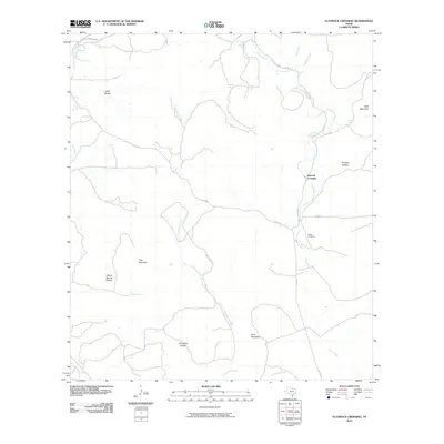
2010 Map of Flatrock Crossing
USGS Topo · Published 2010About this map
Seco Creek and Little Seco Creek carve through the central Texas landscape in this 2010 survey of Medina County. The area is defined by its dramatic local topography, with high points such as Holy Mountain, Flag Mountain, and Split Mountain rising above numerous hollows. The small settlement of Flatrock Crossing serves as a geographic focal point near the intersection of Co Rd 111 and Seco Rd.
Find a feature on this map
25 named features on this map. Tap any name to fly to it.
Don’t see what you’re looking for? This feature index may not catch every label — zoom into the map to look around manually.
Map Details
Editions of this 2010 Flatrock Crossing Map
This is the sole edition of this map. No revisions or reprints were ever made.
Other maps of this area

1898 · Uvalde
USGS Topo · 1:125,000

1899 · Uvalde
USGS Topo · 1:125,000

1954 · San Antonio
USGS Topo · 1:250,000

1956 · Sabinal
USGS Topo · 1:62,500

1956 · Tarpley
USGS Topo · 1:62,500

1956 · Utopia
USGS Topo · 1:62,500

1957 · San Antonio
USGS Topo · 1:250,000
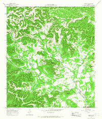
1964 · Tarpley
USGS Topo · 1:24,000
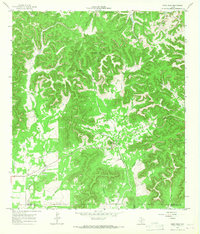
1964 · Seco Pass
USGS Topo · 1:24,000
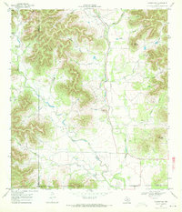
1969 · Vanderpool
USGS Topo · 1:24,000