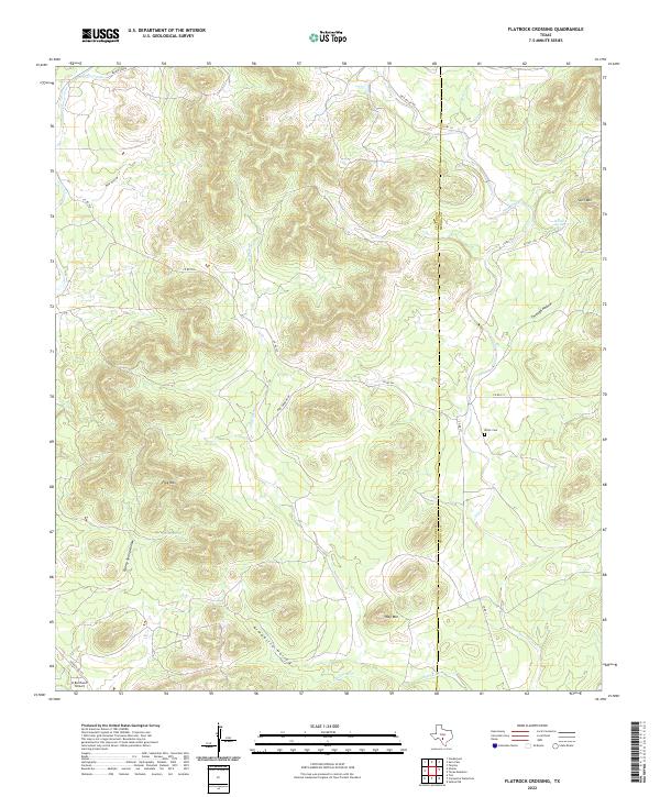
2022 Map of Flatrock Crossing
USGS Topo · Published 2022About this map
The Uvalde Co Medina Co line bisects this modern topographic landscape, where the Balcones Escarpment transitions into the complex drainage networks of south-central Texas. The terrain is defined by a series of prominent peaks, including Split Mtn, Flag Mtn, and Holy Mtn, which rise above a labyrinth of deep draws like Armadillo Hollow and Wolf Hollow. Water remains the central organizing force of the local geography, with Little Seco Cr and Seco Creek winding through the valley floors, supported by permanent water sources such as Richter Spring and Cherry Spring. Cultural landmarks are scattered along the rural road network, most notably the Miller Cem near Co Rd 111, while the K Bar Ranch Airport sits at the southwestern edge of the quadrangle. This detailed survey provides a contemporary record of family-named ranch roads and landmarks in a region still defined by its cattle ranching heritage and difficult terrain.
Find a feature on this map
27 named features on this map. Tap any name to fly to it.
Don’t see what you’re looking for? This feature index may not catch every label — zoom into the map to look around manually.
Map Details
Editions of this 2022 Flatrock Crossing Map
This is the sole edition of this map. No revisions or reprints were ever made.
Other maps of this area

1898 · Uvalde
USGS Topo · 1:125,000

1899 · Uvalde
USGS Topo · 1:125,000

1954 · San Antonio
USGS Topo · 1:250,000

1956 · Sabinal
USGS Topo · 1:62,500

1956 · Tarpley
USGS Topo · 1:62,500

1956 · Utopia
USGS Topo · 1:62,500

1957 · San Antonio
USGS Topo · 1:250,000
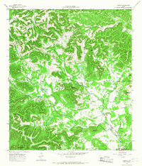
1964 · Tarpley
USGS Topo · 1:24,000
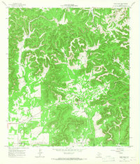
1964 · Seco Pass
USGS Topo · 1:24,000
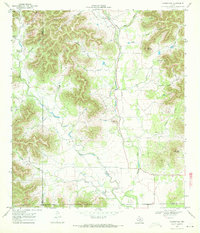
1969 · Vanderpool
USGS Topo · 1:24,000