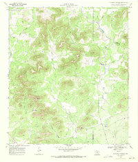
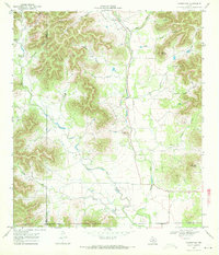
1969 Map of Flatrock Crossing
USGS Topo · Published 1972About this map
Valley Road winds through the limestone drainage of Seco Creek along the border of Uvalde and Medina counties, marking a landscape defined by deep draws and significant natural elevations. The terrain is characterized by named hollows such as Wolf Hollow and Armadillo Hollow that feed into the larger creek systems. Cultural landmarks are sparse but notable, including the isolated Miller Cem and the Valdina Farms settlement near the southern edge of the quadrangle.
Find a feature on this map
25 named features on this map. Tap any name to fly to it.
Don’t see what you’re looking for? This feature index may not catch every label — zoom into the map to look around manually.
Map Details
Editions of this 1969 Flatrock Crossing Map
2 editions found
Other maps of this area

1898 · Uvalde
USGS Topo · 1:125,000

1899 · Uvalde
USGS Topo · 1:125,000

1954 · San Antonio
USGS Topo · 1:250,000

1956 · Sabinal
USGS Topo · 1:62,500

1956 · Tarpley
USGS Topo · 1:62,500

1956 · Utopia
USGS Topo · 1:62,500

1957 · San Antonio
USGS Topo · 1:250,000
1964 · Tarpley
USGS Topo · 1:24,000
1964 · Seco Pass
USGS Topo · 1:24,000
1969 · Vanderpool
USGS Topo · 1:24,000