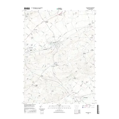
2016 Map of Fleetwood
USGS Topo · Published 2016About this map
Fleetwood sits at the heart of this landscape, surrounded by a dense network of Pennsylvania Dutch country roads and multi-generational family burial grounds. The map reveals a high concentration of ancestral sites such as the Rothermel Burial Ground, Kirby Burial Ground, and the Hoch Family Cem, reflecting centuries of deep-rooted settlement in Maxatawny and Oley Townships. To the south, the industrial heritage of the region is anchored by Oley Furnace near Furnace Hill, while the village of Pricetown serves as a crossroads for religious life with the Saint Johns / Pricetown Cem and the Pricetown Church of the Brethren Cem.
Find a feature on this map
84 named features on this map. Tap any name to fly to it.
Don’t see what you’re looking for? This feature index may not catch every label — zoom into the map to look around manually.
Map Details
Editions of this 2016 Fleetwood Map
This is the sole edition of this map. No revisions or reprints were ever made.
Other maps of this area

1894 · Reading
USGS Topo · 1:62,500

1902 · Boyertown
USGS Topo · 1:62,500

1902 · Slatington
USGS Topo · 1:62,500

1909 · Hamburg
USGS Topo · 1:62,500

1911 · Hamburg
USGS Topo · 1:62,500

1913 · Reading
USGS Topo · 1:62,500

1915 · Reading
USGS Topo · 1:62,500

1937 · Allentown West
USGS Topo · 1:48,000

1942 · Allentown West
USGS Topo · 1:62,500

1943 · Manatawny
USGS Topo · 1:31,680