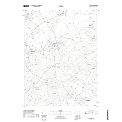
2019 Map of Fleetwood
USGS Topo · Published 2019About this map
The Oley Valley serves as a prominent geographic anchor in this section of Berks County, where a dense network of early German-American settlement is visible through numerous family burial grounds and country churches. The map highlights an agricultural landscape transitioning into small industrial and residential hubs, from the namesake borough of Fleetwood to the smaller hamlets of Pricetown and Lyons. Genealogy value is high here, with private family sites like the Hoch Family Cem and the Barto Burial Ground preserved alongside larger community landmarks such as the Walnuttown Mennonite Church Cem. To the south, Oley Furnace points to the region's iron-making heritage, while terrain features like Irish Mtn and Sand Hill rise above the drainage basins of Laurel Run and the Little Monocacy Cr.
Find a feature on this map
202 named features on this map. Tap any name to fly to it.
Don’t see what you’re looking for? This feature index may not catch every label — zoom into the map to look around manually.
Map Details
Editions of this 2019 Fleetwood Map
This is the sole edition of this map. No revisions or reprints were ever made.
Other maps of this area

1894 · Reading
USGS Topo · 1:62,500

1902 · Boyertown
USGS Topo · 1:62,500

1902 · Slatington
USGS Topo · 1:62,500

1909 · Hamburg
USGS Topo · 1:62,500

1911 · Hamburg
USGS Topo · 1:62,500

1913 · Reading
USGS Topo · 1:62,500

1915 · Reading
USGS Topo · 1:62,500

1937 · Allentown West
USGS Topo · 1:48,000

1942 · Allentown West
USGS Topo · 1:62,500

1943 · Manatawny
USGS Topo · 1:31,680