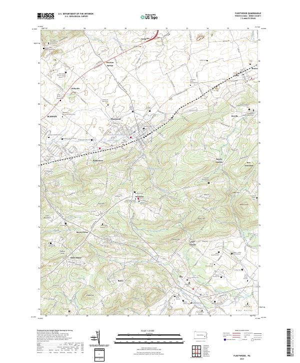
2023 Map of Fleetwood
USGS Topo · Published 2023About this map
Fleetwood and the surrounding Berks County landscape are defined by a dense network of family burial grounds and country churches that reflect centuries of German-American settlement. The terrain transitions from the heights of Irish Mountain and Furnace Hill down into the productive valleys of Willow Creek and Little Manatawny Creek. This modern survey captures a resilient rural infrastructure where old crossroads like Pricetown, Dryville, and Moselem Springs remain distinct markers against the larger borough of Fleetwood.
Find a feature on this map
216 named features on this map. Tap any name to fly to it.
Don’t see what you’re looking for? This feature index may not catch every label — zoom into the map to look around manually.
Map Details
Editions of this 2023 Fleetwood Map
This is the sole edition of this map. No revisions or reprints were ever made.
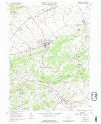
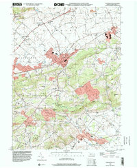
Historical Maps of Maidencreek Township Through Time
3 maps found