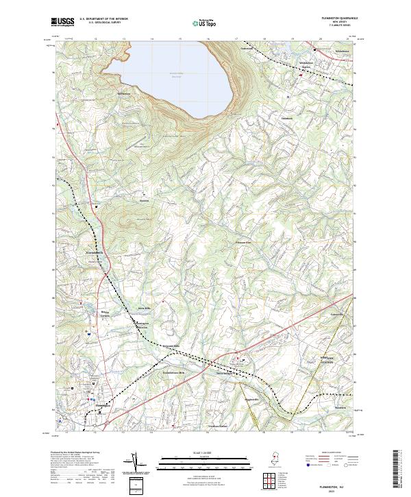
2023 Map of Flemington
USGS Topo · Published 2023About this map
Flemington serves as the focal point of this Hunterdon County landscape, where the Hunterdon County Courthouse stands near several historic burial grounds including the Baptist Cem and Flemington Presbyterian Cem. The region's industrial past is visible through a string of historic mill sites such as Holcomb Mills, Rockefellows Mills, Rowland Mills, and Darts Mills, most of which follow the course of the South Branch Raritan River.
Find a feature on this map
49 named features on this map. Tap any name to fly to it.
Don’t see what you’re looking for? This feature index may not catch every label — zoom into the map to look around manually.
Map Details
Editions of this 2023 Flemington Map
This is the sole edition of this map. No revisions or reprints were ever made.
Other maps of this area

1888 · Princeton
USGS Topo · 1:62,500

1890 · High Bridge
USGS Topo · 1:62,500

1890 · Lambertville
USGS Topo · 1:62,500

1891 · Somerville
USGS Topo · 1:62,500

1891 · Lambertville
USGS Topo · 1:62,500

1893 · Somerville
USGS Topo · 1:62,500

1894 · Princeton
USGS Topo · 1:62,500

1894 · Lambertville
USGS Topo · 1:62,500

1898 · High Bridge
USGS Topo · 1:62,500

1898 · Somerville
USGS Topo · 1:62,500
Featured Places
- Hillsborough Township, NJ
- Raritan Township, NJ
- Readington Township, NJ
- Flemington, NJ
- Branchburg Township, NJ