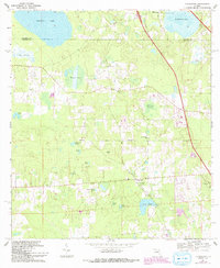
1969 Map of Flemington
USGS Topo · Published 1993About this map
The Arredondo Grant Boundary cuts across the center of this Marion County landscape, marking the historic Spanish land grants that shaped Florida's early property lines. In the late 1960s, the small community of Flemington serves as a local hub, anchored by the Greater New Bethel Ch and its adjacent cemetery. The terrain is defined by a significant collection of solution ponds and wet prairies, including Fish Prairie and Hickman Prairie, which illustrate the region's karstic drainage patterns. Moving toward the Alachua County line, Ledwith Lake and Tuscawilla Lake dominate the northern horizons. The arrival of Interstate 75 is visible in the northeast, providing a sharp modern contrast to the older network of local roads that connect landmarks like the Shiloh Ch and McFall Cem.
Find a feature on this map
30 named features on this map. Tap any name to fly to it.
Don’t see what you’re looking for? This feature index may not catch every label — zoom into the map to look around manually.
Map Details
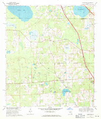
Editions of this 1969 Flemington Map
2 editions found
Other maps of this area

1890 · Arredondo
USGS Topo · 1:62,500

1892 · Arredondo
USGS Topo · 1:62,500

1893 · Citra
USGS Topo · 1:62,500

1894 · Arredondo
USGS Topo · 1:62,500

1895 · Williston
USGS Topo · 1:62,500

1895 · Citra
USGS Topo · 1:62,500

1938 · Hawthorn
USGS Topo · 1:48,000

1943 · Hawthorn
USGS Topo · 1:62,500

1954 · Gainesville
USGS Topo · 1:250,000

1958 · Gainesville
USGS Topo · 1:250,000